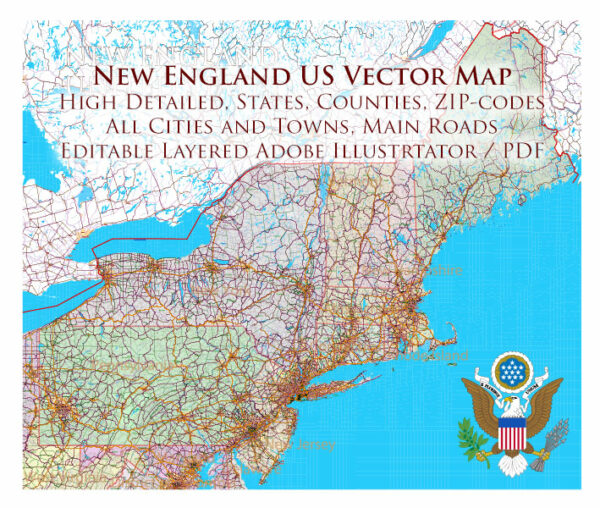
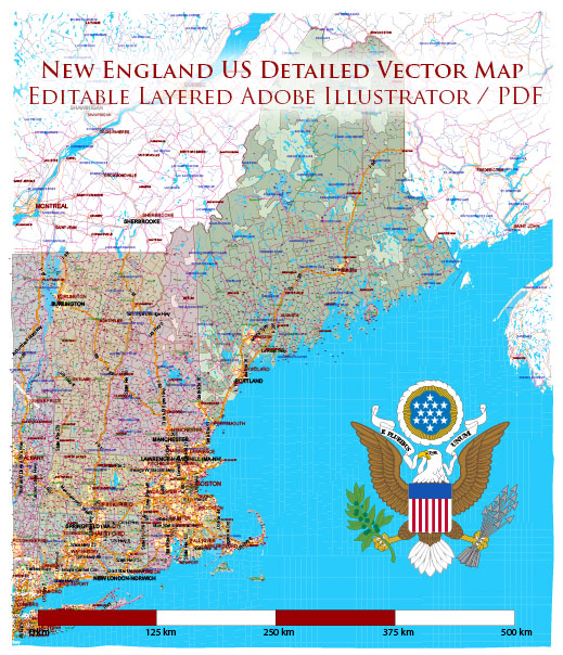
New England is a region in the northeastern part of the United States, known for its rich history, diverse landscapes, and maritime heritage. The region is characterized by numerous rivers, lakes, sea harbors, and bays that have played significant roles in its development.
Vectormap.Net provide you with the most accurate and up-to-date vector maps in Adobe Illustrator, PDF and other formats, designed for editing and printing. Please read the vector map descriptions carefully.
Here’s a detailed description of some prominent water bodies in New England:
Rivers:
- Connecticut River:
- One of the longest rivers in New England, flowing through four states (New Hampshire, Vermont, Massachusetts, and Connecticut).
- It has a watershed that encompasses a variety of landscapes, including mountains, forests, and agricultural areas.
- The river has historically been important for transportation and trade.
- Merrimack River:
- Flows through New Hampshire and Massachusetts.
- Important for its role in the industrialization of the region during the 19th century, powering textile mills and factories.
- Charles River:
- Flows through eastern Massachusetts, including the city of Boston.
- Notable for its scenic beauty and recreational opportunities along its banks.
Lakes:
- Lake Winnipesaukee:
- Located in New Hampshire, it is the largest lake in the state.
- Popular for boating, fishing, and other water-related activities.
- Lake Champlain:
- Extends across Vermont, New York, and a small portion of Quebec, Canada.
- Offers stunning views of the surrounding mountains and is a popular destination for recreation.
Sea Harbors and Bays:
- Boston Harbor:
- One of the oldest and most important harbors in the United States, located in Massachusetts.
- Key to the development of Boston as a major port city and trade hub.
- Narragansett Bay:
- Located in Rhode Island, it is a large estuary that opens into the Atlantic Ocean.
- Important historically for shipping, trade, and fishing.
- Casco Bay:
- Situated on the southern coast of Maine, it includes numerous islands and a deep, ice-free harbor.
- Offers picturesque views and is a popular destination for boating and sailing.
Bays:
- Cape Cod Bay:
- Lies off the coast of Massachusetts, bordered by Cape Cod to the south and the mainland to the west.
- Known for its scenic beauty and diverse marine life.
- Gulf of Maine:
- Extends from Cape Cod to the Bay of Fundy and includes coastal areas of Massachusetts, New Hampshire, Maine, and parts of Canada.
- Important for commercial fishing and supports a rich marine ecosystem.
These water bodies in New England have not only shaped the geography and economic activities of the region but also contribute to its cultural and recreational identity. The maritime history of the area is closely tied to these rivers, lakes, harbors, and bays.


 Author: Kirill Shrayber, Ph.D. FRGS