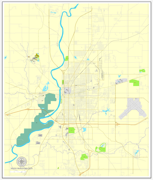
Map — Terre Haute Indiana US City Vector Map
An editable map of Terre Haute Indiana US City Vector Map designed as a dependable base for print and digital layouts. District and neighborhood labels are arranged to avoid collisions around dense cores. The file accepts custom grids, legends and callouts without redrawing base content. Coordinates and scales are prepared for sheet production and consistent exports. Typography spacing is tuned for quick reading on posters, brochures and reports. Bridges, tunnels and ferry lines are isolated so routes remain legible after recolor.
Saves prepress time by reducing manual fixes and keeping the visual system consistent. Use it for visitor guides, city infographics, investment decks and municipal communications. Files remain compact thanks to clean geometry and disciplined labeling. Reliable as a base layer; easy to adapt when projects or sponsors change.


 Author: Kirill Shrayber, Ph.D. FRGS