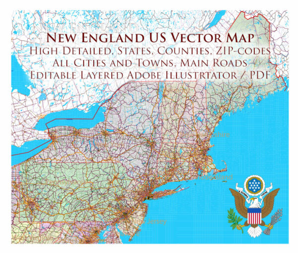
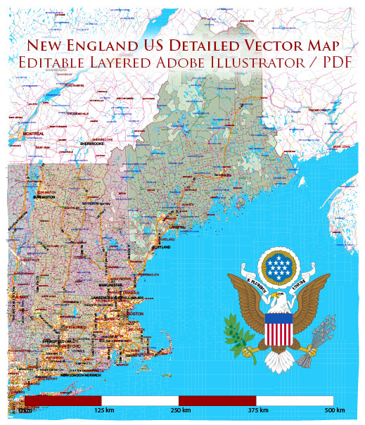
The industrial history of New England, located in the northeastern part of the United States, is characterized by a rich legacy of manufacturing, innovation, and economic development. The region played a crucial role in the early industrialization of the United States during the 19th century.
Vectormap.Net provide you with the most accurate and up-to-date vector maps in Adobe Illustrator, PDF and other formats, designed for editing and printing. Please read the vector map descriptions carefully.
Early Industrialization:
- Textile Mills: New England became a hub for textile manufacturing in the early 19th century. Water-powered textile mills, such as those in Lowell, Massachusetts, emerged along the rivers to harness the energy required for production.
- Shoe Manufacturing: Another significant industry was shoe manufacturing, particularly in cities like Lynn, Massachusetts. Skilled craftsmen and later mechanized processes contributed to the growth of this industry.
- Interconnected Economy: The region’s industrial development was interconnected. The textile industry, for example, relied on Southern cotton, leading to economic ties between New England and other regions of the country.
Innovation and Technology:
- Innovation Centers: New England became known for its innovation centers, including Boston and its surrounding areas. This region fostered a culture of invention and entrepreneurship, leading to advancements in various industries.
- Industrial Revolution: The Industrial Revolution brought about technological advancements in manufacturing processes. The adoption of steam power and later electric power transformed industries, making them more efficient and productive.
Transportation and Infrastructure:
- Canals and Railroads: To facilitate the movement of goods and raw materials, New England invested in a network of canals and railroads. The Middlesex Canal in Massachusetts, completed in 1803, was an early example of this infrastructure.
- Road Systems: The region developed an extensive road network to connect industrial centers and facilitate trade. Improved transportation played a vital role in the growth of industries, allowing for the efficient movement of goods.
Decline and Transformation:
- Deindustrialization: By the mid-20th century, New England experienced deindustrialization as many manufacturing jobs moved to cheaper labor markets. Textile mills and other traditional industries declined, leading to economic challenges.
- Shift to Technology and Services: In the latter half of the 20th century, New England underwent a transformation, shifting from traditional manufacturing to technology and service-based industries. The region became a center for education, healthcare, and high-tech industries.
Modern Road System:
- Highway System: New England has a well-developed highway system, with major interstates connecting cities and facilitating transportation of goods and people. Interstate 95, for example, runs along the eastern seaboard, connecting cities from Florida to Maine.
- Infrastructure Maintenance: The region places a strong emphasis on maintaining and upgrading its infrastructure to support economic activities. Investments in transportation infrastructure continue to be a priority.
In summary, New England’s industrial history is marked by early textile and manufacturing prowess, innovation, and a transition to technology and services. The region’s road and transportation systems have played a crucial role in facilitating economic activities and connecting urban centers.


 Author: Kirill Shrayber, Ph.D.