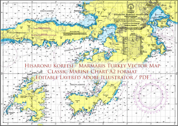
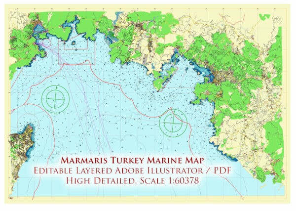
Map — Marmaris Turkey
An accurate map of Marmaris Turkey that keeps hierarchy under control when scaling from A3 to A0. The file accepts custom grids, legends and callouts without redrawing base content. Named layers let you restyle colors, line weights and label classes without cleanup passes. Typography spacing is tuned for quick reading on posters, brochures and reports. Contours and landuse layers can be toggled to match tourism or planning use cases. Layer structure separates arterials and locals, districts, hydrography, parks and landmarks.
Saves prepress time by reducing manual fixes and keeping the visual system consistent. Ideal for signage, event maps, campus leaflets and waterfront brochures. Files remain compact thanks to clean geometry and disciplined labeling. Editors can brand the palette and icons, then export sharp results for both print and web. Export presets help maintain crisp strokes on both coated and uncoated paper.


 Author: Kirill Shrayber, Ph.D. FRGS