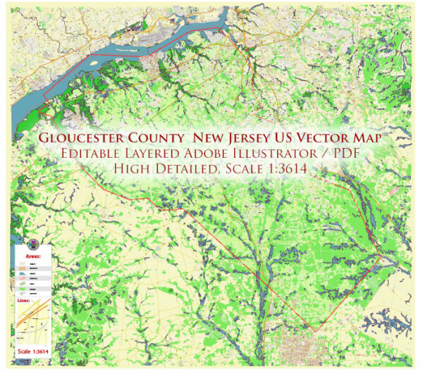
Map — Gloucester County New Jersey US
A clean map of Gloucester County New Jersey US with named layers and consistent geometry for fast cartographic work. Typography spacing is tuned for quick reading on posters, brochures and reports. District and neighborhood labels are arranged to avoid collisions around dense cores. Contours and landuse layers can be toggled to match tourism or planning use cases. Layer structure separates arterials and locals, districts, hydrography, parks and landmarks. Named layers let you restyle colors, line weights and label classes without cleanup passes.
Ideal for signage, event maps, campus leaflets and waterfront brochures. Use it for visitor guides, city infographics, investment decks and municipal communications. Color systems can be swapped quickly to match seasonal or brand variants. Reliable as a base layer; easy to adapt when projects or sponsors change.


 Author: Kirill Shrayber, Ph.D. FRGS