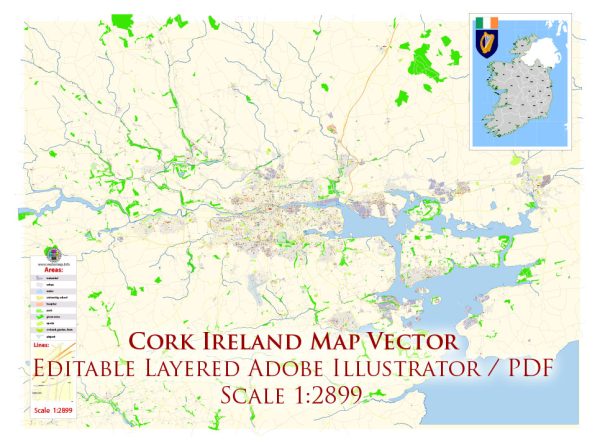
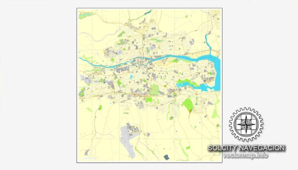
Map — Cork Ireland
A production‑ready map of Cork Ireland built for clear labeling and predictable output across sizes. Layer structure separates arterials and locals, districts, hydrography, parks and landmarks. Bridges, tunnels and ferry lines are isolated so routes remain legible after recolor. Contours and landuse layers can be toggled to match tourism or planning use cases. Crisp vectors preserve edges at high DPI and export compactly for web delivery. The file accepts custom grids, legends and callouts without redrawing base content.
Use it for visitor guides, city infographics, investment decks and municipal communications. Works well as an underlay for wayfinding, transport schemes and editorial layouts. Export presets help maintain crisp strokes on both coated and uncoated paper. Keeps labels readable while allowing deep customization of routes and highlights. Color systems can be swapped quickly to match seasonal or brand variants.


 Author: Kirill Shrayber, Ph.D. FRGS