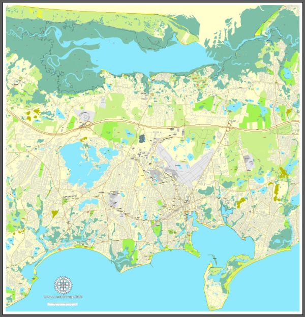
Map — Barnstable Massachusetts US
An accurate map of Barnstable Massachusetts US that keeps hierarchy under control when scaling from A3 to A0. Coordinates and scales are prepared for sheet production and consistent exports. Crisp vectors preserve edges at high DPI and export compactly for web delivery. District and neighborhood labels are arranged to avoid collisions around dense cores. Contours and landuse layers can be toggled to match tourism or planning use cases. Bridges, tunnels and ferry lines are isolated so routes remain legible after recolor.
Saves prepress time by reducing manual fixes and keeping the visual system consistent. Ideal for signage, event maps, campus leaflets and waterfront brochures. Files remain compact thanks to clean geometry and disciplined labeling. Reliable as a base layer; easy to adapt when projects or sponsors change. Export presets help maintain crisp strokes on both coated and uncoated paper.


 Author: Kirill Shrayber, Ph.D. FRGS