
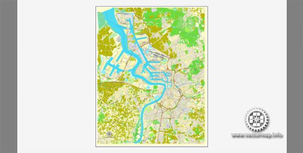
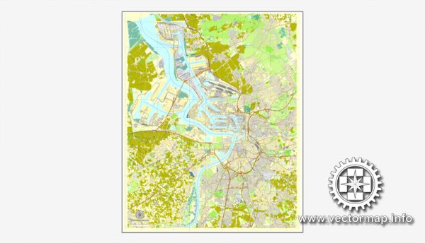
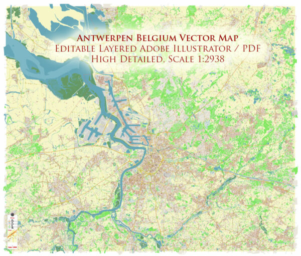
Map — Antwerp Belgium
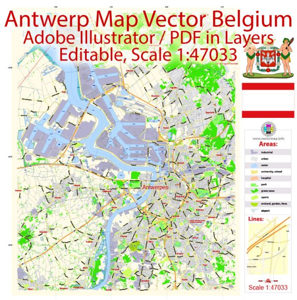
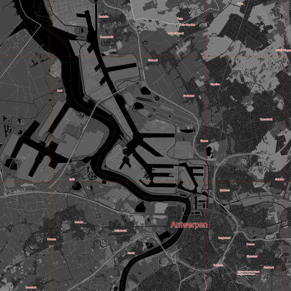
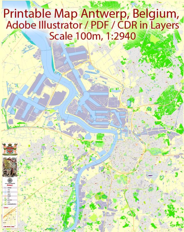
A clean map of Antwerp Belgium with named layers and consistent geometry for fast cartographic work. Layer structure separates arterials and locals, districts, hydrography, parks and landmarks. Waterfronts and parks receive extra separation for better contrast on light palettes. Crisp vectors preserve edges at high DPI and export compactly for web delivery. Bridges, tunnels and ferry lines are isolated so routes remain legible after recolor. The file accepts custom grids, legends and callouts without redrawing base content.
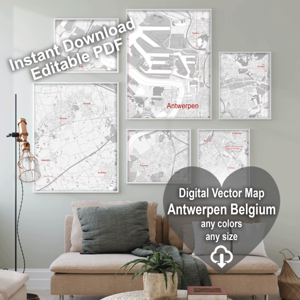
Works well as an underlay for wayfinding, transport schemes and editorial layouts. Ideal for signage, event maps, campus leaflets and waterfront brochures. Export presets help maintain crisp strokes on both coated and uncoated paper. Reliable as a base layer; easy to adapt when projects or sponsors change. Color systems can be swapped quickly to match seasonal or brand variants.
 Author: Kirill Shrayber, Ph.D. FRGS