Explore the Legacy of Soviet Cartography — Road Maps of the USSR for Designers and Print Professionals
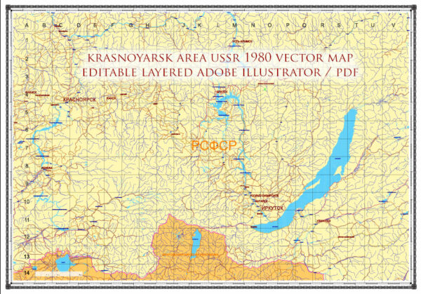
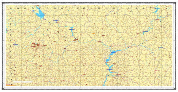
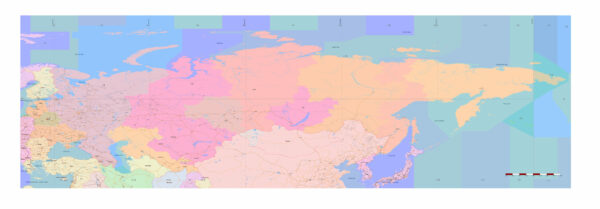
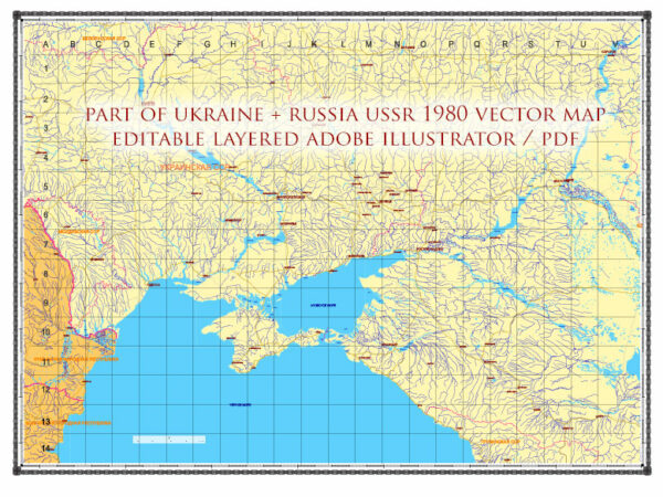
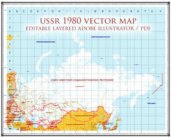
Step into a powerful visual archive with our meticulously crafted Road Maps of the USSR collection. These high-resolution vector maps capture the unique structure of Soviet-era road networks — from major arterial routes to rural byways — preserved with precision and ready for creative use.
Whether you’re a graphic designer, cartographer, urban planner, or print professional, these maps provide an exceptional base for posters, books, exhibitions, packaging, or historical visualizations. Each map is:
Fully editable in vector format (AI, EPS, PDF, SVG)
Optimized for large-format printing — from A3 to billboard scale
Detail-rich with fine linework, authentic labeling, and scalable design
Perfect for historical projects, themed artwork, museum displays, or educational use
Bring Soviet history into your creative work with maps that are not just accurate, but also artistically inspiring.
Download once, use forever — no subscriptions, no restrictions.
Start exploring the visual infrastructure of a vanished empire today.


 Author: Kirill Shrayber, Ph.D. FRGS