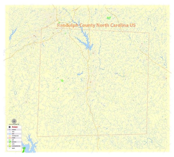
Map — Randolph County North Carolina US
A clean map of Randolph County North Carolina US with named layers and consistent geometry for fast cartographic work. District and neighborhood labels are arranged to avoid collisions around dense cores. Waterfronts and parks receive extra separation for better contrast on light palettes. Named layers let you restyle colors, line weights and label classes without cleanup passes. Crisp vectors preserve edges at high DPI and export compactly for web delivery. Coordinates and scales are prepared for sheet production and consistent exports.
Works well as an underlay for wayfinding, transport schemes and editorial layouts. Use it for visitor guides, city infographics, investment decks and municipal communications. The map integrates neatly with common DTP and GIS workflows. Keeps labels readable while allowing deep customization of routes and highlights.


 Author: Kirill Shrayber, Ph.D. FRGS