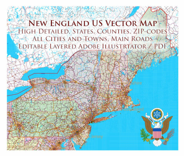
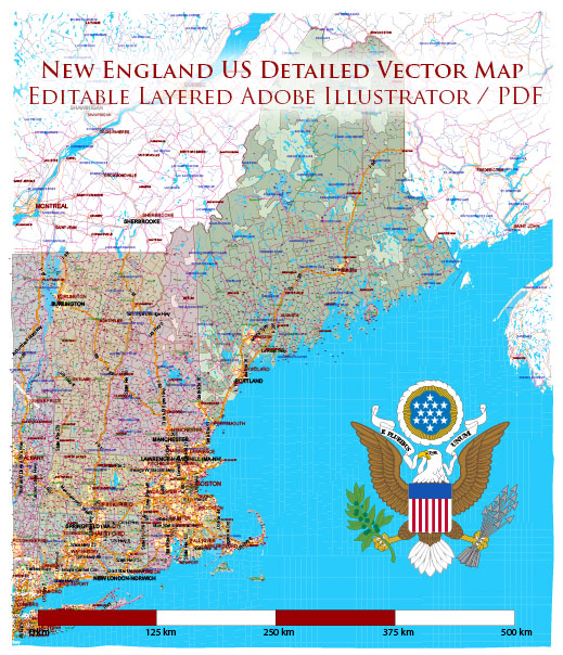
New England is a region in the northeastern part of the United States, consisting of six states: Connecticut, Maine, Massachusetts, New Hampshire, Rhode Island, and Vermont. Each state has its own unique cities, ports, towns, and road networks.
Vectormap.Net provide you with the most accurate and up-to-date vector maps in Adobe Illustrator, PDF and other formats, designed for editing and printing. Please read the vector map descriptions carefully.
Here’s a brief overview of some of the main cities and ports in each state, as well as principal roads that connect them:
- Connecticut:
- Cities: Hartford (the capital), Bridgeport, New Haven, Stamford
- Ports: New Haven Harbor, Bridgeport Harbor
- Towns: Greenwich, Mystic, New London
- Principal Roads: Interstate 95 (I-95), Interstate 84 (I-84)
- Maine:
- Cities: Portland (the largest city), Augusta (the capital), Bangor
- Ports: Portland Harbor, Portsmouth Harbor
- Towns: Bar Harbor, Kennebunkport
- Principal Roads: Interstate 95 (I-95), U.S. Route 1
- Massachusetts:
- Cities: Boston (the capital), Worcester, Springfield, Cambridge
- Ports: Boston Harbor, New Bedford Harbor
- Towns: Plymouth, Salem, Lexington
- Principal Roads: Interstate 90 (I-90/Massachusetts Turnpike), Interstate 93 (I-93), Interstate 95 (I-95)
- New Hampshire:
- Cities: Concord (the capital), Manchester, Nashua
- Ports: Portsmouth Harbor, Hampton Harbor
- Towns: Hanover, Portsmouth
- Principal Roads: Interstate 93 (I-93), Interstate 89 (I-89)
- Rhode Island:
- Cities: Providence (the capital), Warwick
- Ports: Port of Providence, Port of Davisville (Quonset Point)
- Towns: Newport, Cranston
- Principal Roads: Interstate 95 (I-95)
- Vermont:
- Cities: Montpelier (the capital), Burlington, Rutland
- Ports: Port of Burlington
- Towns: Stowe, Bennington
- Principal Roads: Interstate 89 (I-89), Interstate 91 (I-91)
These descriptions are not exhaustive, but they provide an overview of some of the main urban centers, ports, towns, and roadways in New England. The region is known for its historical significance, scenic landscapes, and vibrant cultural scenes.


 Author: Kirill Shrayber, Ph.D. FRGS