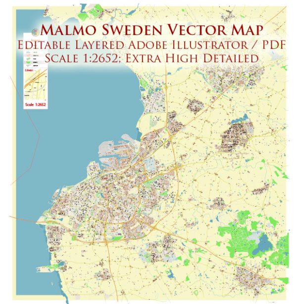
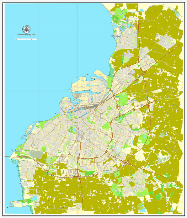
Map — Malmo Sweden
A production‑ready map of Malmo Sweden built for clear labeling and predictable output across sizes. The file accepts custom grids, legends and callouts without redrawing base content. Bridges, tunnels and ferry lines are isolated so routes remain legible after recolor. Named layers let you restyle colors, line weights and label classes without cleanup passes. Coordinates and scales are prepared for sheet production and consistent exports. Layer structure separates arterials and locals, districts, hydrography, parks and landmarks.
Works well as an underlay for wayfinding, transport schemes and editorial layouts. Ideal for signage, event maps, campus leaflets and waterfront brochures. Files remain compact thanks to clean geometry and disciplined labeling. Reliable as a base layer; easy to adapt when projects or sponsors change. Color systems can be swapped quickly to match seasonal or brand variants.


 Author: Kirill Shrayber, Ph.D. FRGS