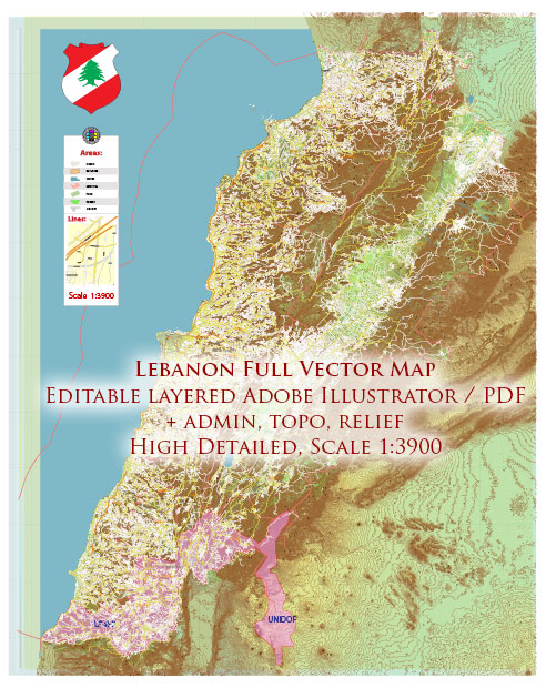
Map — Lebanon Full
An accurate map of Lebanon Full that keeps hierarchy under control when scaling from A3 to A0. Waterfronts and parks receive extra separation for better contrast on light palettes. Typography spacing is tuned for quick reading on posters, brochures and reports. Coordinates and scales are prepared for sheet production and consistent exports. Contours and landuse layers can be toggled to match tourism or planning use cases. District and neighborhood labels are arranged to avoid collisions around dense cores.
Ideal for signage, event maps, campus leaflets and waterfront brochures. Works well as an underlay for wayfinding, transport schemes and editorial layouts. Color systems can be swapped quickly to match seasonal or brand variants. Reliable as a base layer; easy to adapt when projects or sponsors change. Legibility holds up on handheld leaflets and large lobby posters alike.


 Author: Kirill Shrayber, Ph.D. FRGS