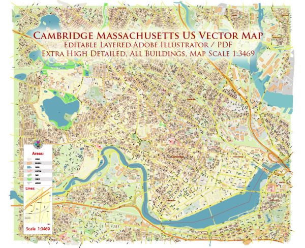
Map — Cambridge Massachusetts US
An editable map of Cambridge Massachusetts US designed as a dependable base for print and digital layouts. Typography spacing is tuned for quick reading on posters, brochures and reports. Contours and landuse layers can be toggled to match tourism or planning use cases. Waterfronts and parks receive extra separation for better contrast on light palettes. Coordinates and scales are prepared for sheet production and consistent exports. The file accepts custom grids, legends and callouts without redrawing base content.
Use it for visitor guides, city infographics, investment decks and municipal communications. Saves prepress time by reducing manual fixes and keeping the visual system consistent. Export presets help maintain crisp strokes on both coated and uncoated paper. Reliable as a base layer; easy to adapt when projects or sponsors change. Color systems can be swapped quickly to match seasonal or brand variants.


 Author: Kirill Shrayber, Ph.D. FRGS