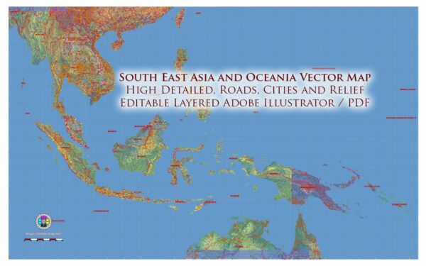
Map — Asia South East And Oceania
A production‑ready map of Asia South East And Oceania built for clear labeling and predictable output across sizes. Contours and landuse layers can be toggled to match tourism or planning use cases. Waterfronts and parks receive extra separation for better contrast on light palettes. Bridges, tunnels and ferry lines are isolated so routes remain legible after recolor. The file accepts custom grids, legends and callouts without redrawing base content. Typography spacing is tuned for quick reading on posters, brochures and reports.
Use it for visitor guides, city infographics, investment decks and municipal communications. Saves prepress time by reducing manual fixes and keeping the visual system consistent. Files remain compact thanks to clean geometry and disciplined labeling. Reliable as a base layer; easy to adapt when projects or sponsors change. Export presets help maintain crisp strokes on both coated and uncoated paper.


 Author: Kirill Shrayber, Ph.D. FRGS