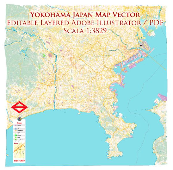
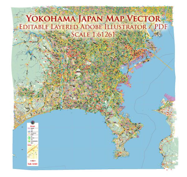
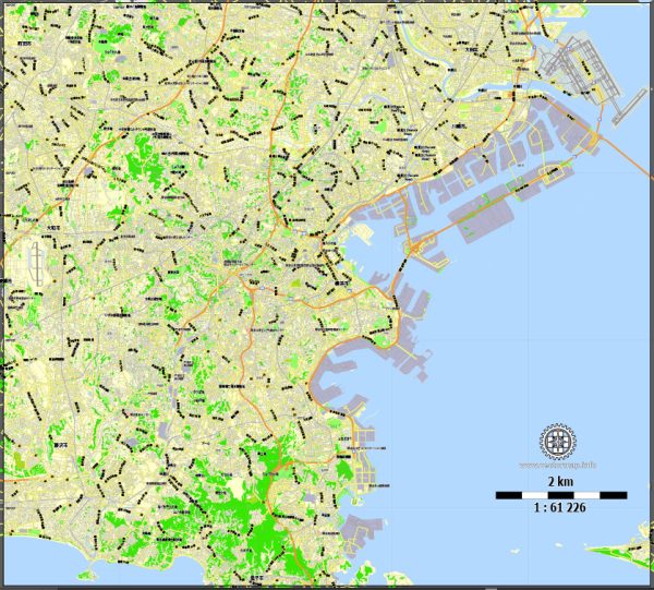
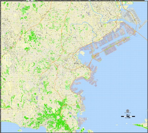
Vector Maps of the Yokohama : Japanese city south of Tokyo, was one of the first Japanese ports opened to foreign trade, in 1859. It contains a large Chinatown with hundreds of Chinese restaurants and shops. It’s also known for Sankei-en Garden, a botanical park containing preserved Japanese residences from different eras, and the seaside Minato Mirai district, site of the 296m Landmark Tower.
Area: 437.4 km²
Download royalty free, editable vector maps of Yokohama Japan in high resolution digital PDF and Adobe Illustrator format.
Printable Map — Yokohama Japan
A clean printable map of Yokohama Japan with named layers and consistent geometry for fast cartographic work. Waterfronts and parks receive extra separation for better contrast on light palettes. Bridges, tunnels and ferry lines are isolated so routes remain legible after recolor. Crisp vectors preserve edges at high DPI and export compactly for web delivery. Contours and landuse layers can be toggled to match tourism or planning use cases. Named layers let you restyle colors, line weights and label classes without cleanup passes.
Works well as an underlay for wayfinding, transport schemes and editorial layouts. Saves prepress time by reducing manual fixes and keeping the visual system consistent. Export presets help maintain crisp strokes on both coated and uncoated paper. Keeps labels readable while allowing deep customization of routes and highlights. Color systems can be swapped quickly to match seasonal or brand variants.


 Author: Kirill Shrayber, Ph.D. FRGS