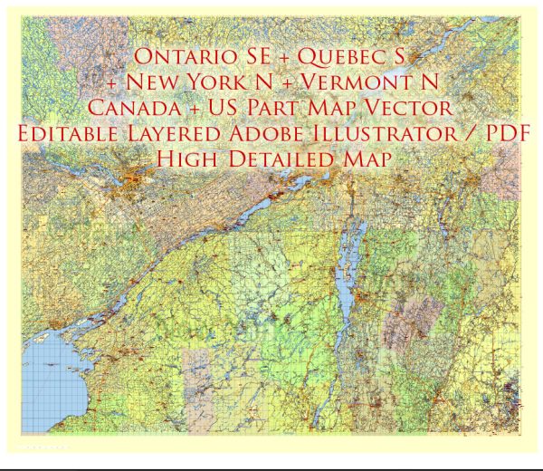
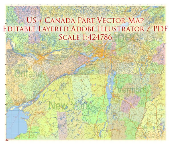
Printable Map — US North East Canada South East
An editable printable map of US North East Canada South East designed as a dependable base for print and digital layouts. Crisp vectors preserve edges at high DPI and export compactly for web delivery. Typography spacing is tuned for quick reading on posters, brochures and reports. Waterfronts and parks receive extra separation for better contrast on light palettes. Named layers let you restyle colors, line weights and label classes without cleanup passes. The file accepts custom grids, legends and callouts without redrawing base content.
Works well as an underlay for wayfinding, transport schemes and editorial layouts. Use it for visitor guides, city infographics, investment decks and municipal communications. Files remain compact thanks to clean geometry and disciplined labeling. Reliable as a base layer; easy to adapt when projects or sponsors change.


 Author: Kirill Shrayber, Ph.D. FRGS