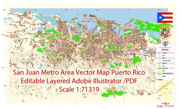
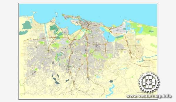
Vector Maps of the San Juan : Puerto Rico’s capital and largest city, sits on the island’s Atlantic coast. Its widest beach fronts the Isla Verde resort strip, known for its bars, nightclubs and casinos. Cobblestoned Old San Juan features colorful Spanish colonial buildings and 16th-century landmarks including El Morro and La Fortaleza, massive fortresses with sweeping ocean views, as well as the Paseo de la Princesa bayside promenade.
Founded: 1521
Area: 199.4 km²
Download royalty free, editable vector maps of San Juan Puerto Rico in high resolution digital PDF and Adobe Illustrator format.
Printable Map — San Juan Puerto Rico US
A clean printable map of San Juan Puerto Rico US with named layers and consistent geometry for fast cartographic work. Contours and landuse layers can be toggled to match tourism or planning use cases. District and neighborhood labels are arranged to avoid collisions around dense cores. Bridges, tunnels and ferry lines are isolated so routes remain legible after recolor. Waterfronts and parks receive extra separation for better contrast on light palettes. Coordinates and scales are prepared for sheet production and consistent exports.
Works well as an underlay for wayfinding, transport schemes and editorial layouts. Saves prepress time by reducing manual fixes and keeping the visual system consistent. The map integrates neatly with common DTP and GIS workflows. Editors can brand the palette and icons, then export sharp results for both print and web.


 Author: Kirill Shrayber, Ph.D. FRGS