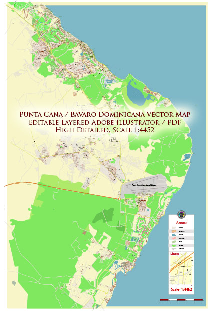
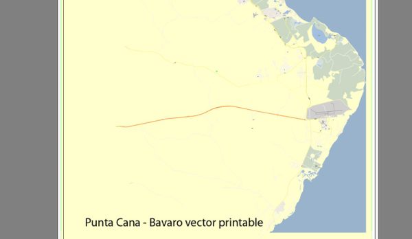
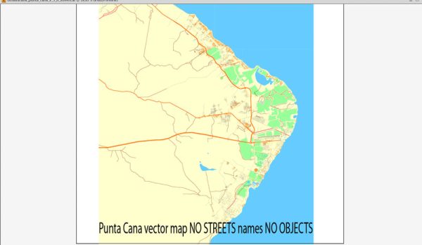
Vector Maps of the Punta Cana : the easternmost tip of the Dominican Republic, abuts the Caribbean Sea and the Atlantic Ocean. It’s a region known for its 32km stretch of beaches and clear waters. The Bávaro area and Punta Cana combine to form what’s known as La Costa del Coco, or the Coconut Coast, an area of lavish, all-inclusive resorts. It’s popular for zip-lining, windsurfing, kayaking and sailing.
Area: 475.3 km²
Download royalty free, editable vector maps of Punta Cana Dominican Republic in high resolution digital PDF and Adobe Illustrator format.
Printable Map — Punta Cana Dominicana
An accurate printable map of Punta Cana Dominicana that keeps hierarchy under control when scaling from A3 to A0. Contours and landuse layers can be toggled to match tourism or planning use cases. Bridges, tunnels and ferry lines are isolated so routes remain legible after recolor. Coordinates and scales are prepared for sheet production and consistent exports. The file accepts custom grids, legends and callouts without redrawing base content. Waterfronts and parks receive extra separation for better contrast on light palettes.
Saves prepress time by reducing manual fixes and keeping the visual system consistent. Ideal for signage, event maps, campus leaflets and waterfront brochures. Legibility holds up on handheld leaflets and large lobby posters alike. Keeps labels readable while allowing deep customization of routes and highlights. Files remain compact thanks to clean geometry and disciplined labeling.


 Author: Kirill Shrayber, Ph.D. FRGS