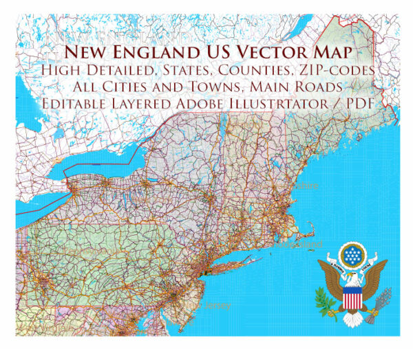
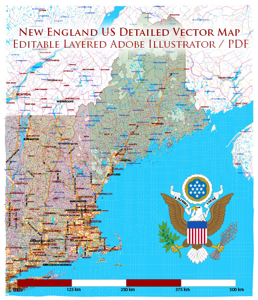
The political and transportation history of New England, located in the northeastern corner of the United States, is rich and influential.
Vectormap.Net provide you with the most accurate and up-to-date vector maps in Adobe Illustrator, PDF and other formats, designed for editing and printing. Please read the vector map descriptions carefully.
Let’s explore these aspects in detail:
Political History:
Early Colonial Period (17th Century):
- Plymouth Colony: One of the first English settlements in the region, established in 1620 by the Pilgrims aboard the Mayflower.
- Massachusetts Bay Colony: Founded in 1630 by Puritans led by John Winthrop. Boston became a significant early center of political and cultural influence.
Colonial Period (18th Century):
- The Thirteen Colonies: New England was part of the Thirteen Colonies that eventually rebelled against British rule during the American Revolution.
- Boston Massacre (1770): Tensions between colonists and British soldiers led to the killing of several colonists in Boston, contributing to the growing anti-British sentiment.
American Revolution (1775-1783):
- Lexington and Concord: The first battles of the Revolutionary War took place in Massachusetts in 1775.
- Bunker Hill: A significant battle fought near Boston in 1775.
Post-Revolution and Statehood:
- Constitutional Convention: Massachusetts played a key role in the drafting of the U.S. Constitution in 1787.
- Statehood: New England states were among the first to ratify the Constitution and join the new United States.
19th Century:
- Industrialization: New England became a center for industrialization, with textile mills and factories driving economic growth.
- Abolitionism: The region was a stronghold of the anti-slavery movement.
20th Century:
- Political Influence: New England has been a stronghold for both the Democratic and Republican parties at various times.
- Kennedy Dynasty: The Kennedy family, with roots in Massachusetts, became a prominent political force.
Recent Times:
- Liberal Traditions: New England states often lean liberal, with progressive policies and social initiatives.
Transportation History:
Early Transportation (17th-18th Century):
- Maritime Trade: Sea routes were vital for trade between New England and other colonies, Europe, and the Caribbean.
- Roads: Early roads were crucial for local transportation, linking towns and facilitating commerce.
19th Century:
- Canals and Railroads: The construction of canals and railroads improved inland transportation.
- Steamships: Steam-powered ships enhanced maritime trade and transportation.
Industrialization and Automobiles (Late 19th-20th Century):
- Automobiles: The rise of the automobile transformed transportation in the early 20th century.
- Highways: The development of interstate highways facilitated regional and national connectivity.
Public Transportation and Aviation (20th Century Onward):
- Public Transit: Cities like Boston developed subway and bus systems for public transportation.
- Airports: The growth of aviation led to the construction and expansion of airports.
Challenges and Innovations:
- Traffic and Congestion: Like many urban areas, New England cities faced traffic challenges.
- Technological Advances: The region embraced technological advancements, including smart transportation systems.
Conclusion:
The political and transportation history of New England is characterized by early colonial settlements, a pivotal role in the American Revolution, industrialization, and a continued influence on national politics. Transportation has evolved from maritime trade and early roads to a modern network of highways, public transit, and aviation infrastructure. Today, New England remains a dynamic region with a blend of historical significance and contemporary developments.


 Author: Kirill Shrayber, Ph.D. FRGS