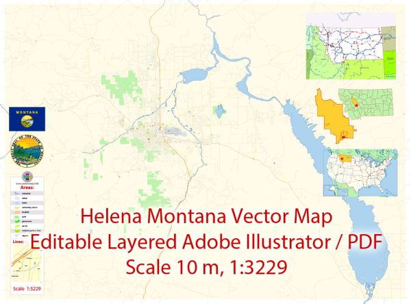
Printable Map — Helena Montana US
A production‑ready printable map of Helena Montana US built for clear labeling and predictable output across sizes. Layer structure separates arterials and locals, districts, hydrography, parks and landmarks. Typography spacing is tuned for quick reading on posters, brochures and reports. Bridges, tunnels and ferry lines are isolated so routes remain legible after recolor. Waterfronts and parks receive extra separation for better contrast on light palettes. Named layers let you restyle colors, line weights and label classes without cleanup passes.
Ideal for signage, event maps, campus leaflets and waterfront brochures. Use it for visitor guides, city infographics, investment decks and municipal communications. Files remain compact thanks to clean geometry and disciplined labeling. Keeps labels readable while allowing deep customization of routes and highlights.


 Author: Kirill Shrayber, Ph.D. FRGS