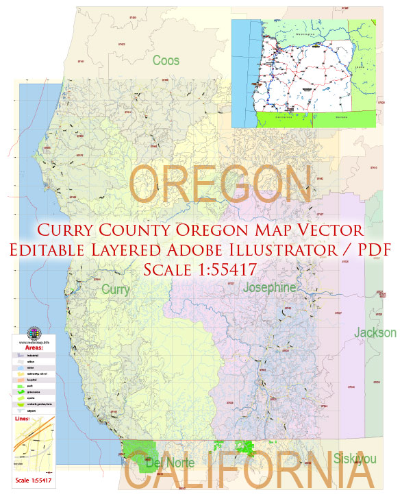
Printable Map — Curry County Oregon US
A production‑ready printable map of Curry County Oregon US built for clear labeling and predictable output across sizes. Contours and landuse layers can be toggled to match tourism or planning use cases. Layer structure separates arterials and locals, districts, hydrography, parks and landmarks. Typography spacing is tuned for quick reading on posters, brochures and reports. Coordinates and scales are prepared for sheet production and consistent exports. Crisp vectors preserve edges at high DPI and export compactly for web delivery.
Use it for visitor guides, city infographics, investment decks and municipal communications. Ideal for signage, event maps, campus leaflets and waterfront brochures. The map integrates neatly with common DTP and GIS workflows. Editors can brand the palette and icons, then export sharp results for both print and web. Files remain compact thanks to clean geometry and disciplined labeling.


 Author: Kirill Shrayber, Ph.D. FRGS