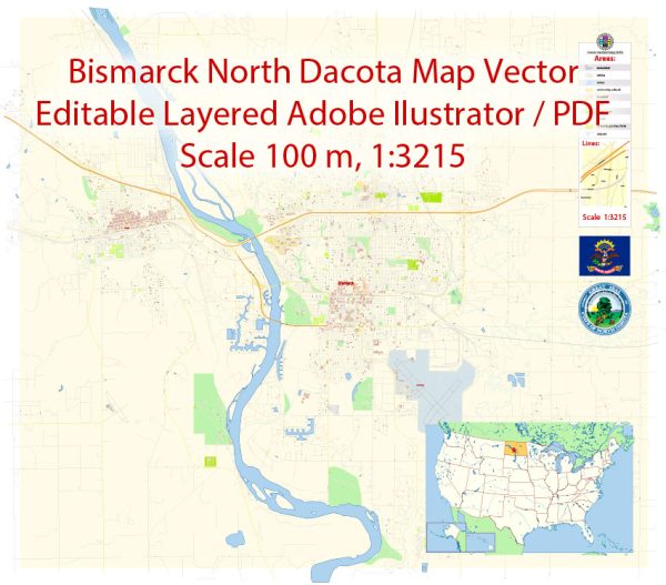
Printable Map — Bismarck North Dakota US
An accurate printable map of Bismarck North Dakota US that keeps hierarchy under control when scaling from A3 to A0. The file accepts custom grids, legends and callouts without redrawing base content. Bridges, tunnels and ferry lines are isolated so routes remain legible after recolor. Contours and landuse layers can be toggled to match tourism or planning use cases. Coordinates and scales are prepared for sheet production and consistent exports. District and neighborhood labels are arranged to avoid collisions around dense cores.
Works well as an underlay for wayfinding, transport schemes and editorial layouts. Use it for visitor guides, city infographics, investment decks and municipal communications. Files remain compact thanks to clean geometry and disciplined labeling. Keeps labels readable while allowing deep customization of routes and highlights.


 Author: Kirill Shrayber, Ph.D. FRGS