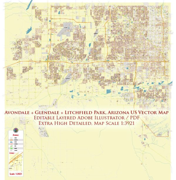
Printable Map — Avondale Glendale Arizona US
A production‑ready printable map of Avondale Glendale Arizona US built for clear labeling and predictable output across sizes. District and neighborhood labels are arranged to avoid collisions around dense cores. The file accepts custom grids, legends and callouts without redrawing base content. Contours and landuse layers can be toggled to match tourism or planning use cases. Crisp vectors preserve edges at high DPI and export compactly for web delivery. Waterfronts and parks receive extra separation for better contrast on light palettes.
Works well as an underlay for wayfinding, transport schemes and editorial layouts. Use it for visitor guides, city infographics, investment decks and municipal communications. Legibility holds up on handheld leaflets and large lobby posters alike. Keeps labels readable while allowing deep customization of routes and highlights.


 Author: Kirill Shrayber, Ph.D. FRGS