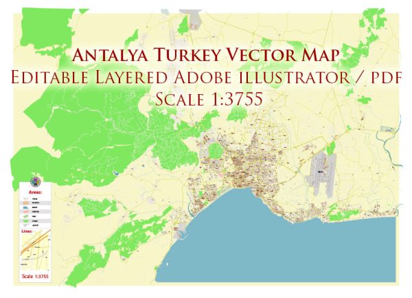
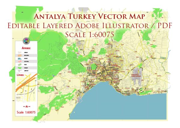
Vector Maps of the Antalya : Turkish resort city with a yacht-filled Old Harbor and beaches flanked by large hotels. It’s a gateway to Turkey’s southern Mediterranean region, known as the Turquoise Coast for its blue waters. Remnants remain from Antalya’s time as a major Roman port. These include Hadrian’s Gate, built to honor the Roman emperor’s visit in 130 A.D and 2nd-century Hidirlik Tower, with harbor views.
Area: 1,417 km²
Download royalty free, editable vector maps of Antalya Turkey in high resolution digital PDF and Adobe Illustrator format.
Printable Map — Antalya Turkey
An accurate printable map of Antalya Turkey that keeps hierarchy under control when scaling from A3 to A0. Bridges, tunnels and ferry lines are isolated so routes remain legible after recolor. Crisp vectors preserve edges at high DPI and export compactly for web delivery. Typography spacing is tuned for quick reading on posters, brochures and reports. Waterfronts and parks receive extra separation for better contrast on light palettes. The file accepts custom grids, legends and callouts without redrawing base content.
Works well as an underlay for wayfinding, transport schemes and editorial layouts. Use it for visitor guides, city infographics, investment decks and municipal communications. Legibility holds up on handheld leaflets and large lobby posters alike. Editors can brand the palette and icons, then export sharp results for both print and web. Files remain compact thanks to clean geometry and disciplined labeling.


 Author: Kirill Shrayber, Ph.D. FRGS