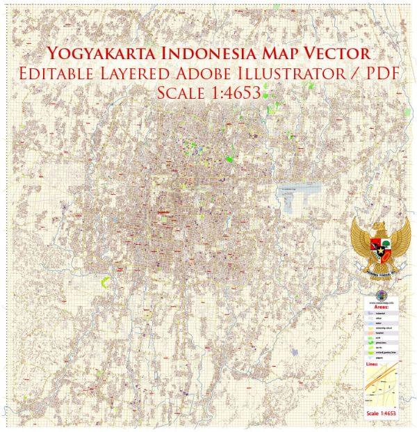
Vector Maps of the Yogyakarta (often called “Jogja”) : city on the Indonesian island of Java known for its traditional arts and cultural heritage. Its ornate 18th-century royal complex, or kraton, encompasses the still-inhabited Sultan’s Palace. Also within the kraton are numerous open-air pavilions that host classical Javanese dance shows and concerts of gamelan music, characterized by gongs, chimes and plucked string instruments.
Area: 32.5 km²
Elevation: 113 m
Download royalty free, editable vector maps of Yogyakarta Indonesia in high resolution digital PDF and Adobe Illustrator format.
PDF Map — Yogyakarta Indonesia
An accurate PDF map of Yogyakarta Indonesia that keeps hierarchy under control when scaling from A3 to A0. Crisp vectors preserve edges at high DPI and export compactly for web delivery. Coordinates and scales are prepared for sheet production and consistent exports. Layer structure separates arterials and locals, districts, hydrography, parks and landmarks. Waterfronts and parks receive extra separation for better contrast on light palettes. Named layers let you restyle colors, line weights and label classes without cleanup passes.
Ideal for signage, event maps, campus leaflets and waterfront brochures. Works well as an underlay for wayfinding, transport schemes and editorial layouts. Files remain compact thanks to clean geometry and disciplined labeling. Editors can brand the palette and icons, then export sharp results for both print and web. The map integrates neatly with common DTP and GIS workflows.


 Author: Kirill Shrayber, Ph.D. FRGS