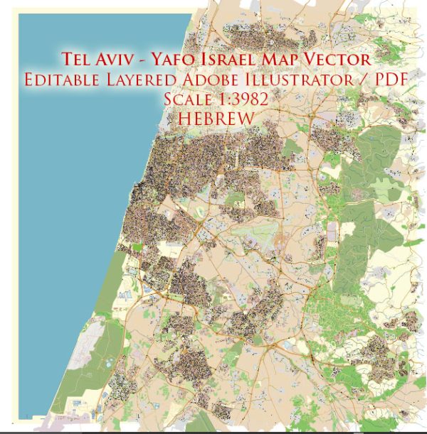
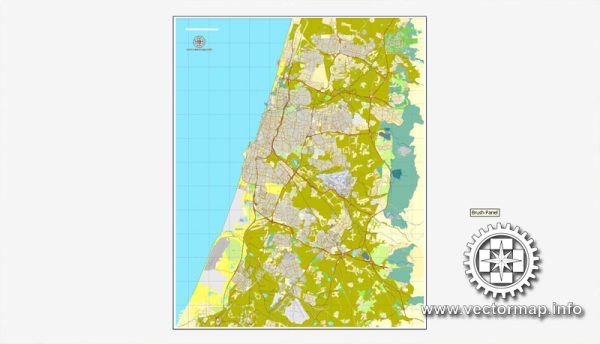
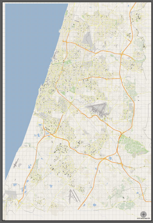
Vector Maps of the Tel Aviv-Yafo, often referred to as just Tel Aviv : city on Israel’s Mediterranean coast, is marked by stark 1930s Bauhaus buildings, thousands of which are clustered in the White City architectural area. Museums include Beit Hatfutsot, whose multimedia exhibits illustrate the history of Jewish communities worldwide. The Eretz Israel Museum covers the country’s archaeology, folklore and crafts, and features an on-site excavation of 12th-century-B.C. ruins.
Area: 52 km²
Download royalty free, editable vector maps of Tel Aviv Israel in high resolution digital PDF and Adobe Illustrator format.
 Author: Kirill Shrayber, Ph.D.
I have been working with vector cartography for over 25 years, including GPS, GIS, Adobe Illustrator and other professional cartographic software.
Linkedin: https://www.linkedin.com/in/kirill-shrayber-0b839325/
Twitter: https://twitter.com/vectormapper


