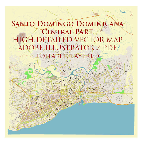
Vector Maps of the Santo Domingo : the capital of the Dominican Republic and one of the Caribbean’s oldest cities. Its walled, cobblestoned historic core, the Zona Colonial, has buildings that date to the 1500s, including the cathedral, which was the first built in the New World. On the cafe-lined Plaza de España is the Alcázar de Colón palace. It’s now one of the city’s many museums, displaying notable medieval and Renaissance art.
Area: 104.4 km²
Elevation: 14 m
Founded: 1496
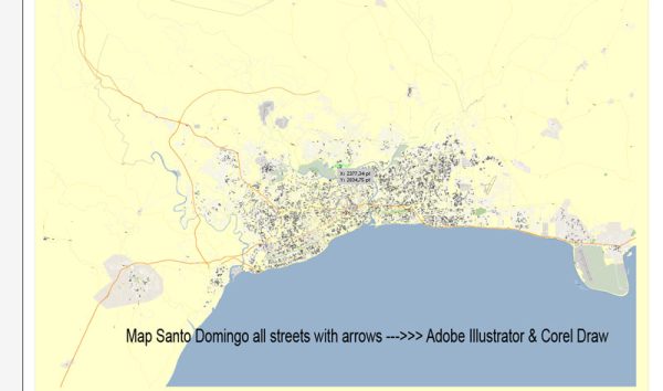
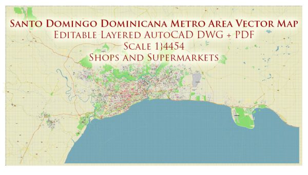
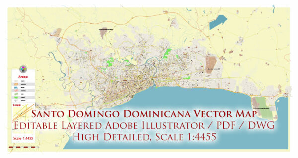
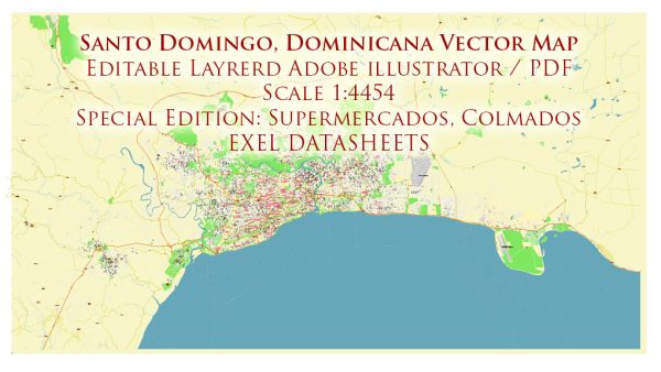
Download royalty free, editable vector maps of Santo Domingo Dominican Republic in high resolution digital PDF and Adobe Illustrator format.
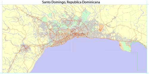
PDF Map — Santo Domingo Dominicana
A production‑ready PDF map of Santo Domingo Dominicana built for clear labeling and predictable output across sizes. Named layers let you restyle colors, line weights and label classes without cleanup passes. Bridges, tunnels and ferry lines are isolated so routes remain legible after recolor. Coordinates and scales are prepared for sheet production and consistent exports. The file accepts custom grids, legends and callouts without redrawing base content. Layer structure separates arterials and locals, districts, hydrography, parks and landmarks.
Use it for visitor guides, city infographics, investment decks and municipal communications. Saves prepress time by reducing manual fixes and keeping the visual system consistent. Export presets help maintain crisp strokes on both coated and uncoated paper. Keeps labels readable while allowing deep customization of routes and highlights.

 Author: Kirill Shrayber, Ph.D. FRGS