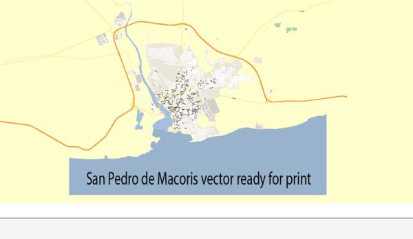
Vector Maps of the San Pedro de Macorís : city and municipality in the Dominican Republic and the capital of the San Pedro de Macorís province in the east region of the country; it is among the 10 largest cities of the Dominican Republic. The city has approximately 195,000 inhabitants, when including the metro area.
Area: 152.3 km²
Elevation: 4 m
Download royalty free, editable vector maps of San Pedro de Macorís Dominican Republic in high resolution digital PDF and Adobe Illustrator format.
PDF Map — San Pedro De Macoris Dominicana
An accurate PDF map of San Pedro De Macoris Dominicana that keeps hierarchy under control when scaling from A3 to A0. The file accepts custom grids, legends and callouts without redrawing base content. Coordinates and scales are prepared for sheet production and consistent exports. Crisp vectors preserve edges at high DPI and export compactly for web delivery. Contours and landuse layers can be toggled to match tourism or planning use cases. District and neighborhood labels are arranged to avoid collisions around dense cores.
Use it for visitor guides, city infographics, investment decks and municipal communications. Works well as an underlay for wayfinding, transport schemes and editorial layouts. The map integrates neatly with common DTP and GIS workflows. Reliable as a base layer; easy to adapt when projects or sponsors change. Export presets help maintain crisp strokes on both coated and uncoated paper.


 Author: Kirill Shrayber, Ph.D. FRGS