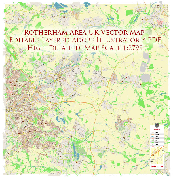
PDF Map — Rotherham Area UK
An editable PDF map of Rotherham Area UK designed as a dependable base for print and digital layouts. Named layers let you restyle colors, line weights and label classes without cleanup passes. Contours and landuse layers can be toggled to match tourism or planning use cases. Coordinates and scales are prepared for sheet production and consistent exports. Waterfronts and parks receive extra separation for better contrast on light palettes. The file accepts custom grids, legends and callouts without redrawing base content.
Ideal for signage, event maps, campus leaflets and waterfront brochures. Use it for visitor guides, city infographics, investment decks and municipal communications. Legibility holds up on handheld leaflets and large lobby posters alike. Keeps labels readable while allowing deep customization of routes and highlights. The map integrates neatly with common DTP and GIS workflows.


 Author: Kirill Shrayber, Ph.D. FRGS