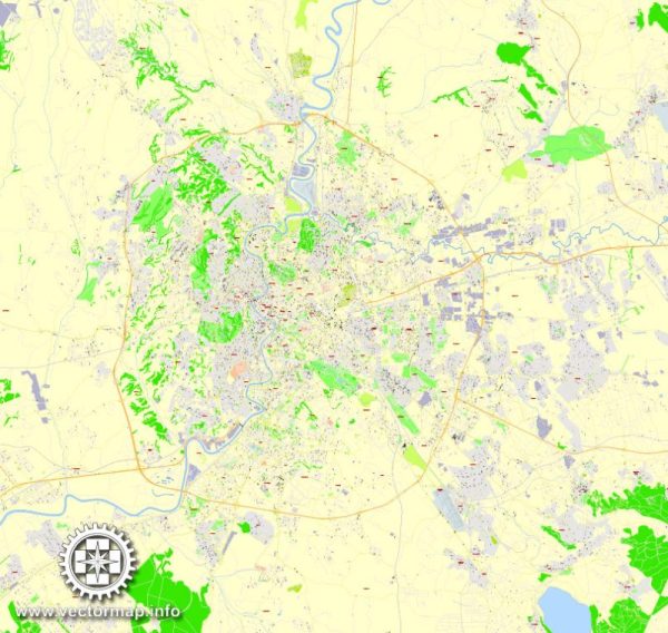
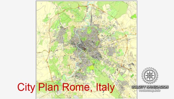
Vector Maps of the Rome : capital city of Italy. It is also the capital of the Lazio region, the center of the Metropolitan City of Rome, and a special commune named Commune di Roma Capitale.
Founded: April 21, 753 BC
Area: 1,285 km²
Elevation: 21 m
Instant download archives: royalty free, editable vector maps of Rome / Roma Italy in high resolution digital PDF and Adobe Illustrator format.
All of our editable Rome / Roma Italy vector maps are digital files,
which can be instantly downloaded in editable PDF or Adobe Illustrator format.
Objects on maps are usually divided into layers according to their types – lines, polygons, street names, object names (see map description!!!!)
Each of our Rome / Roma Italy digital maps is available in Adobe Illustrator or editable PDF format, (or on request in any other known format for the same price)
which use a vector approach to display images,
you can easily enlarge any part of our maps without compromising text, line or graphic quality,
with any increase or decrease ratio.
Using a vector graphics editor such as Adobe Illustrator, CorelDraw, Inkscape, or Freehand
you can easily crop parts of the map, add custom characters, and change colors and font attributes as needed.
We have a variety of Rome / Roma Italy vector maps with different levels of detail, from simple empty paths to highly detailed maps with roads and terrain layers.
Don’t see exactly what you’re looking for? Contact us to receive a special offer for an individual Rome / Roma Italy map for your project.
IT: Archivi di download istantaneo: mappe vettoriali modificabili esenti da royalty di Rome / Roma Italy in formato digitale PDF e Adobe Illustrator ad alta risoluzione.
Tutte le nostre mappe vettoriali modificabili Rome / Roma Italy sono file digitali,
che può essere scaricato istantaneamente in formato modificabile PDF o Adobe Illustrator.
Gli oggetti sulle mappe sono generalmente divisi in livelli in base al loro tipo: linee, poligoni, nomi di strade, nomi di oggetti (vedi descrizione mappa!!!!)
Ognuna delle nostre Rome / Roma Italy mappe digitali è disponibile in Adobe Illustrator o in formato PDF modificabile (o su richiesta in qualsiasi altro formato noto allo stesso prezzo)
che utilizzano un approccio vettoriale per visualizzare le immagini,
puoi facilmente ingrandire qualsiasi parte delle nostre mappe senza compromettere la qualità del testo, delle linee o della grafica,
con qualsiasi rapporto di aumento o diminuzione.
Utilizzo di un editor di grafica vettoriale come Adobe Illustrator, CorelDraw, Inkscape o Freehand
puoi facilmente ritagliare parti della mappa, aggiungere caratteri personalizzati e modificare i colori e gli attributi dei caratteri secondo necessità.
Abbiamo una varietà di Rome / Roma Italy mappe vettoriali con diversi livelli di dettaglio, da semplici percorsi vuoti a mappe altamente dettagliate con strade e strati di terreno.
Non vedi esattamente quello che stai cercando? Contattaci per ricevere un’offerta speciale per una mappa individuale Rome / Roma Italy per il tuo progetto.


 Author: Kirill Shrayber, Ph.D. FRGS