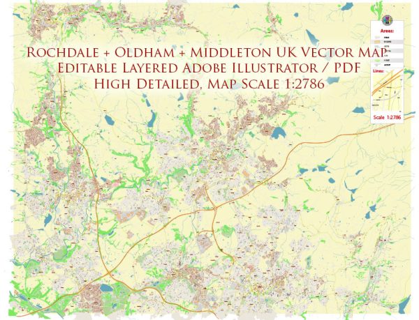
PDF Map — Rochdale Oldham Middleton Area UK
A production‑ready PDF map of Rochdale Oldham Middleton Area UK built for clear labeling and predictable output across sizes. Waterfronts and parks receive extra separation for better contrast on light palettes. Typography spacing is tuned for quick reading on posters, brochures and reports. Contours and landuse layers can be toggled to match tourism or planning use cases. Layer structure separates arterials and locals, districts, hydrography, parks and landmarks. Crisp vectors preserve edges at high DPI and export compactly for web delivery.
Works well as an underlay for wayfinding, transport schemes and editorial layouts. Use it for visitor guides, city infographics, investment decks and municipal communications. Files remain compact thanks to clean geometry and disciplined labeling. Reliable as a base layer; easy to adapt when projects or sponsors change.


 Author: Kirill Shrayber, Ph.D. FRGS