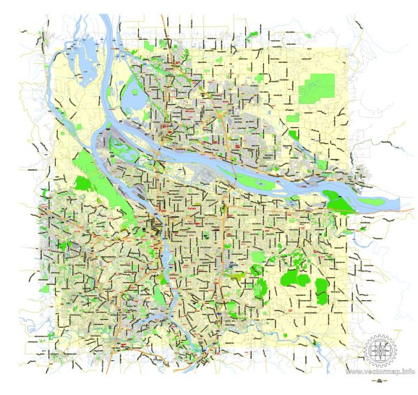
PDF Map — Portland Oregon Vancouver Washington
A production‑ready PDF map of Portland Oregon Vancouver Washington built for clear labeling and predictable output across sizes. Contours and landuse layers can be toggled to match tourism or planning use cases. District and neighborhood labels are arranged to avoid collisions around dense cores. Layer structure separates arterials and locals, districts, hydrography, parks and landmarks. Bridges, tunnels and ferry lines are isolated so routes remain legible after recolor. Coordinates and scales are prepared for sheet production and consistent exports.
Use it for visitor guides, city infographics, investment decks and municipal communications. Ideal for signage, event maps, campus leaflets and waterfront brochures. The map integrates neatly with common DTP and GIS workflows. Reliable as a base layer; easy to adapt when projects or sponsors change.


 Author: Kirill Shrayber, Ph.D. FRGS