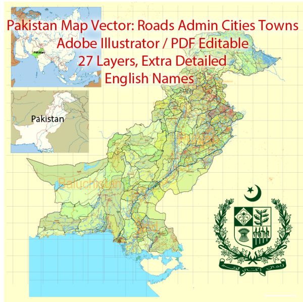
Vector Maps of the Pakistan : officially the Islamic Republic of Pakistan, is a country in South Asia. It is the world’s fifth-most populous country, with a population of almost 227 million, and has the world’s second-largest Muslim population. Pakistan is the 33rd-largest country by area, spanning 881,913 square kilometers.
Capital: Islamabad
Area:
• Total: 881,913 km2 (340,509 sq mi)
• Water: (%) 2.86
Download royalty free, editable vector maps of Pakistan in high resolution digital PDF and Adobe Illustrator format.
PDF Map — Pakistan Full
A production‑ready PDF map of Pakistan Full built for clear labeling and predictable output across sizes. Contours and landuse layers can be toggled to match tourism or planning use cases. Waterfronts and parks receive extra separation for better contrast on light palettes. Crisp vectors preserve edges at high DPI and export compactly for web delivery. Coordinates and scales are prepared for sheet production and consistent exports. District and neighborhood labels are arranged to avoid collisions around dense cores.
Works well as an underlay for wayfinding, transport schemes and editorial layouts. Use it for visitor guides, city infographics, investment decks and municipal communications. The map integrates neatly with common DTP and GIS workflows. Editors can brand the palette and icons, then export sharp results for both print and web. Files remain compact thanks to clean geometry and disciplined labeling.


 Author: Kirill Shrayber, Ph.D. FRGS