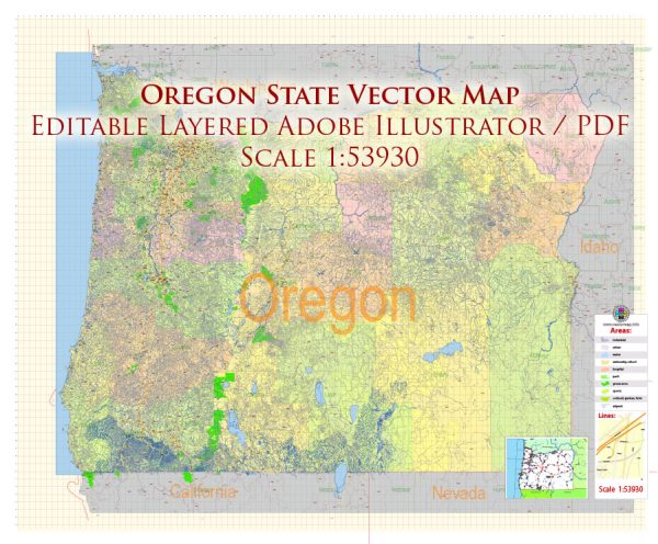
Vector Maps of the Oregon : constituent state of the United States of America. Oregon is bounded to the north by Washington state, from which it receives the waters of the Columbia River; to the east by Idaho, more than half the border with which is formed by the winding Snake River and Hells Canyon; to the south by Nevada and California, with which Oregon shares its mountain and desert systems; and to the west by the Pacific Ocean, which produces the moderate climate of Oregon’s western lands. The capital is Salem, in the northwestern part of the state.
Area:
• Total: 98,381 sq mi (254,806 km2)
• Land: 95,997 sq mi (248,849 km2)
• Water: 2,384 sq mi (6,177 km2) 2.4%
Instant download archives: royalty free, editable vector maps of Oregon State in high resolution digital PDF and Adobe Illustrator format.
All of our editable Oregon State vector maps are digital files,
which can be instantly downloaded in editable PDF or Adobe Illustrator format.
Objects on maps are usually divided into layers according to their types – lines, polygons, street names, object names (see map description!!!!)
Each of our Oregon State digital maps is available in Adobe Illustrator or editable PDF format, (or on request in any other known format for the same price)
which use a vector approach to display images,
you can easily enlarge any part of our maps without compromising text, line or graphic quality,
with any increase or decrease ratio.
Using a vector graphics editor such as Adobe Illustrator, CorelDraw, Inkscape, or Freehand
you can easily crop parts of the map, add custom characters, and change colors and font attributes as needed.
We have a variety of Oregon State vector maps with different levels of detail, from simple empty paths to highly detailed maps with roads and terrain layers.
Don’t see exactly what you’re looking for? Contact us to receive a special offer for an individual Oregon State map for your project.


 Author: Kirill Shrayber, Ph.D.