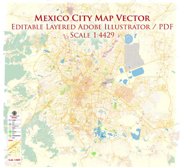
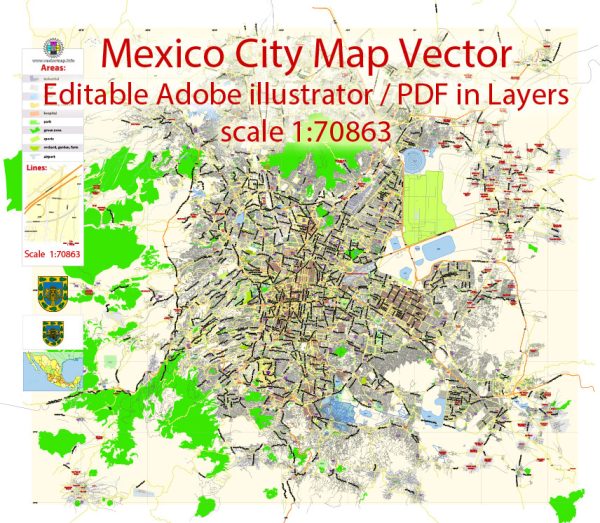
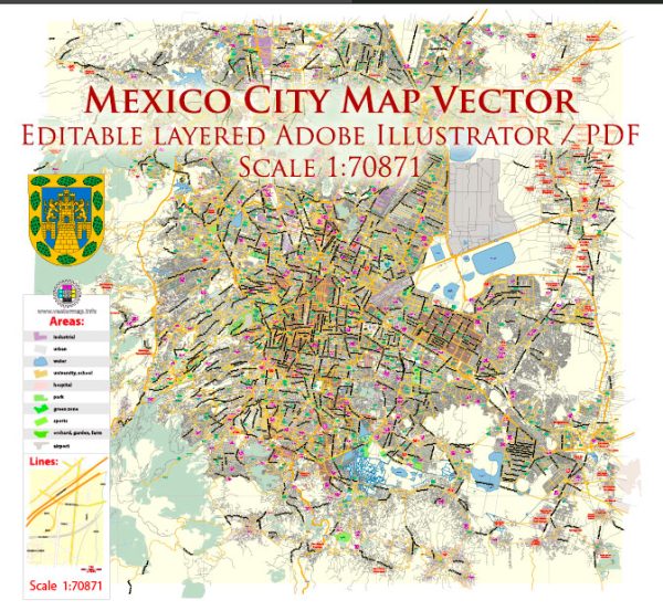
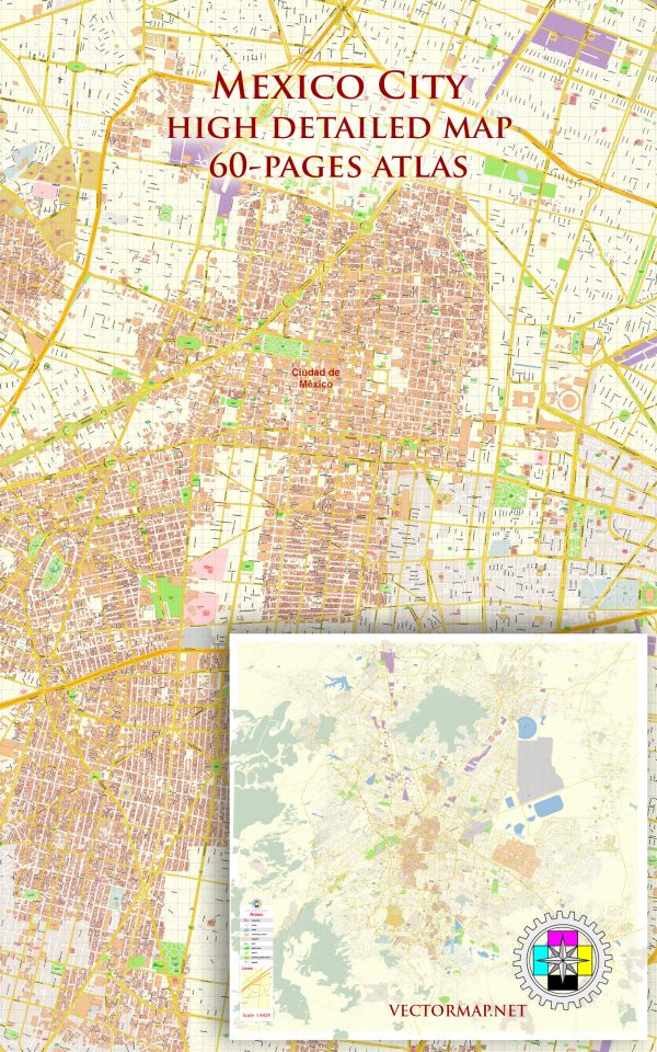
Vector Maps of the Mexico City : the densely populated, high-altitude capital of Mexico. It’s known for its Templo Mayor (a 13th-century Aztec temple), the baroque Catedral Metropolitana de México of the Spanish conquistadors and the Palacio Nacional, which houses historic murals by Diego Rivera. All of these are situated in and around the Plaza de la Constitución, the massive main square also known as the Zócalo.
Elevation: 2,240 m
Area: 1,485 km²
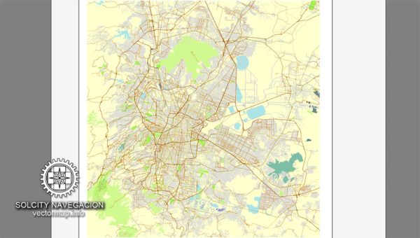
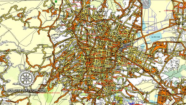
Download royalty free, editable vector maps of Mexico City Mexico in high resolution digital PDF and Adobe Illustrator format.
Mapa PDF — Mexico City Mexico
Un mapa PDF limpio de Mexico City Mexico con capas nombradas y geometría coherente para cartografía rápida. Frentes de agua y parques reciben separación extra para mejor contraste. Las capas con nombre permiten recolorear, ajustar grosores y clases de etiquetas sin limpieza. Los vectores nítidos conservan bordes en alto DPI y exportan archivos compactos para la web. Las capas separan arterias y calles locales, distritos, hidrografía, parques y puntos de interés. Puentes y túneles se aíslan para que las rutas sigan legibles tras el recolor.
Útil para guías, infografías urbanas, presentaciones de inversión y comunicación municipal. Ahorra preimpresión al reducir correcciones manuales y mantener el sistema visual. La legibilidad se mantiene en volantes de mano y pósters de vestíbulo. Se puede aplicar la paleta de marca e iconos y exportar resultados nítidos para impresión y web.

 Author: Kirill Shrayber, Ph.D. FRGS