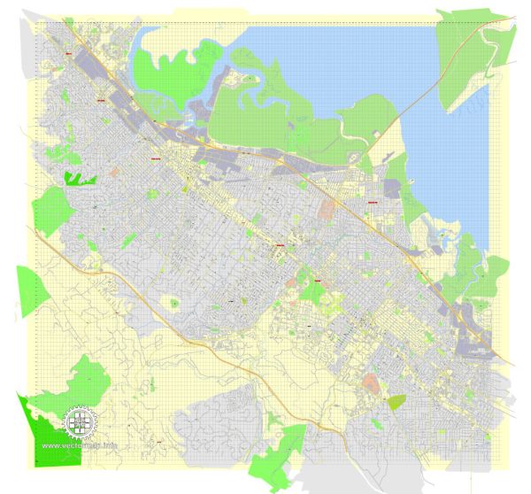
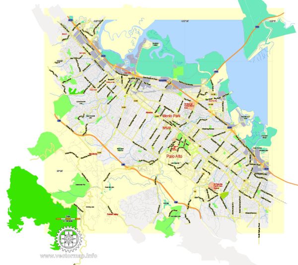
Vector Maps of the Menlo Park : city, San Mateo county, western California, U.S. It lies on the western shore of San Francisco Bay. The area, originally inhabited by Ohlone Indians, was called El Palo Alto by Spanish explorers in the mid-18th century. It became part of the Rancho de las Pulgas, a Mexican land grant established in 1800. The city was founded in 1854 by Dennis J. Oliver and D.C. McGlynn, two Irishmen who named the city for Menlough, County Galway, Ireland. Menlo Park began as a village for railroad and estate workers. Brief incorporation (1874–76) included Fair Oaks (later Atherton) and Ravenswood (later East Palo Alto). During World War I, the population of the city increased, as Camp Fremont (for U.S. Army engineers) occupied most of the downtown area and trained some 40,000 soldiers. During World War II, Dibble General Hospital (1943–46) was built to provide services for injured soldiers from the Pacific theatre. After World War II, Menlo Park developed as a residential community with an office-building boom, highlighted by the Stanford Research Institute (1946; now SRI International). Menlo College (1927) lies in the nearby town of Atherton. It is also a publishing center. Inc. 1927.
Vectormap.Net provide you with the most accurate and up-to-date vector maps in Adobe Illustrator, PDF and other formats, designed for editing and printing. Please read the vector map descriptions carefully.
Instant download archives: royalty free, editable vector maps of Menlo Park California in high resolution digital PDF and Adobe Illustrator format.
All of our editable Menlo Park California vector maps are digital files,
which can be instantly downloaded in editable PDF or Adobe Illustrator format.
Objects on maps are usually divided into layers according to their types – lines, polygons, street names, object names (see map description!!!!)
Each of our Menlo Park California digital maps is available in Adobe Illustrator or editable PDF format, (or on request in any other known format for the same price)
which use a vector approach to display images,
you can easily enlarge any part of our maps without compromising text, line or graphic quality,
with any increase or decrease ratio.
Using a vector graphics editor such as Adobe Illustrator, CorelDraw, Inkscape, or Freehand
you can easily crop parts of the map, add custom characters, and change colors and font attributes as needed.
We have a variety of Menlo Park California vector maps with different levels of detail, from simple empty paths to highly detailed maps with roads and terrain layers.
Don’t see exactly what you’re looking for? Contact us to receive a special offer for an individual Menlo Park California map for your project.


 Author: Kirill Shrayber, Ph.D. FRGS