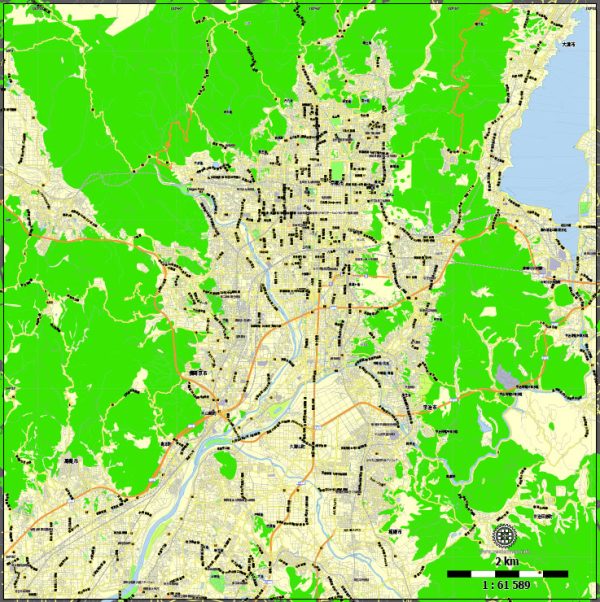
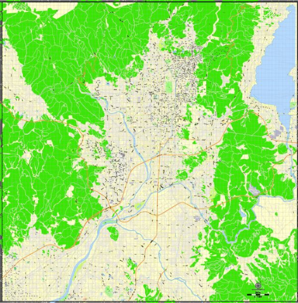
Vector Maps of the Kyoto : once the capital of Japan, is a city on the island of Honshu. It’s famous for its numerous classical Buddhist temples, as well as gardens, imperial palaces, Shinto shrines and traditional wooden houses. It’s also known for formal traditions such as kaiseki dining, consisting of multiple courses of precise dishes, and geisha, female entertainers often found in the Gion district.
Area: 827.8 km²
Download royalty free, editable vector maps of Kyoto Japan in high resolution digital PDF and Adobe Illustrator format.
Kyoto has a well-developed and efficient transportation infrastructure that facilitates easy movement within the city and access to nearby regions. Here’s an overview of Kyoto’s transportation systems:
**1. Public Transportation:
- Buses: Kyoto has an extensive bus network operated by Kyoto City Bus and other private companies. Buses connect major tourist attractions, neighborhoods, and suburban areas. Kyoto’s bus system is an essential mode of transport for both locals and tourists.
- Subway: Kyoto has two subway lines, the Karasuma Line and the Tozai Line, operated by Kyoto Municipal Subway. These subway lines are convenient for traveling between different parts of the city, and they intersect at the central hub of Kyoto Station.
**2. Trains:
- Kyoto Station: Kyoto Station is a major transportation hub and one of Japan’s largest train stations. It serves as a gateway to the city, connecting various train lines, including the Shinkansen (bullet train) lines like the Tokaido Shinkansen, which links Kyoto with cities such as Tokyo and Osaka.
- JR Lines: Japan Railways (JR) operates several lines that connect Kyoto with neighboring cities and regions. JR lines are commonly used for both commuting and leisure travel.
**3. Bicycles:
- Bike Rentals: Kyoto is a bike-friendly city with many bike rental shops. Exploring the city by bicycle is a popular and eco-friendly option, especially for visiting historic sites and scenic areas.
- Bike Lanes: Kyoto has designated bike lanes and rental stations, making it convenient for residents and visitors to use bicycles for short-distance travel.
**4. Taxis:
- Taxi Services: Taxis are readily available throughout Kyoto, offering a convenient mode of transportation, especially for those who prefer a more private and comfortable ride.
- Taxi Stands: Taxi stands are located at major transportation hubs, tourist attractions, and busy districts. Taxis can also be hailed on the street.
**5. Private Cars:
- Road Network: Kyoto has a well-maintained road network, but traffic congestion can occur, especially in the city center. Driving may be more practical for reaching suburban or rural areas around Kyoto.
- Car Rentals: Car rental services are available in Kyoto for those who prefer the flexibility of driving. However, it’s worth noting that parking in the city center can be limited.
**6. Walking:
- Pedestrian-Friendly Areas: Many areas in Kyoto, especially around historical districts, are pedestrian-friendly. Walking is a delightful way to explore the city’s narrow streets, traditional neighborhoods, and cultural sites.
**7. Tourist Transportation Passes:
- IC Cards: Kyoto utilizes IC cards like Suica or ICOCA, which can be used for seamless travel on public transportation, including buses and trains.
- Kyoto City Bus and Subway Passes: Tourists can purchase one-day or multiple-day passes for unlimited rides on buses and subways, providing a cost-effective way to explore the city.
Kyoto’s transportation infrastructure is well-designed to cater to the diverse needs of residents and visitors, offering a mix of traditional and modern modes of transport to navigate the city and its surroundings efficiently.


 Author: Kirill Shrayber, Ph.D. FRGS