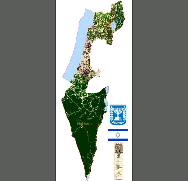
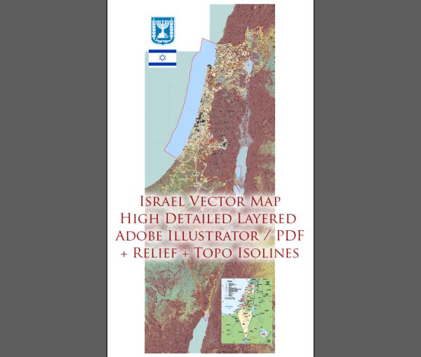
Vector Maps of the Israel : Middle Eastern country on the Mediterranean Sea, is regarded by Jews, Christians and Muslims as the biblical Holy Land. Its most sacred sites are in Jerusalem. Within its Old City, the Temple Mount complex includes the Dome of the Rock shrine, the historic Western Wall, Al-Aqsa Mosque and the Church of the Holy Sepulchre. Israel’s financial hub, Tel Aviv, is known for its Bauhaus architecture and beaches.
Capital: Jerusalem
Area:
• Total: 20,770–22,072 km2 (8,019–8,522 sq mi)
• Water: (%) 2.71
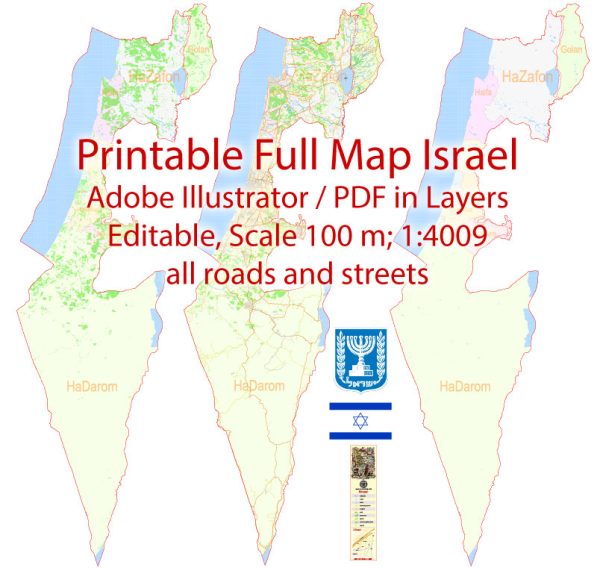
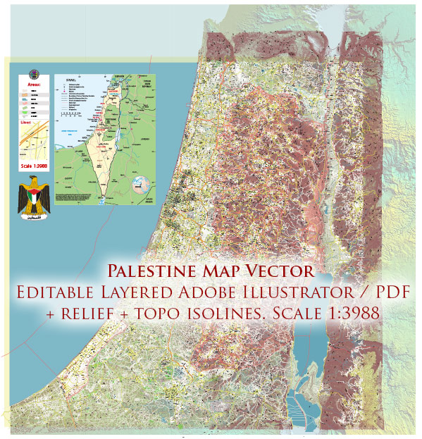
Download royalty free, editable vector maps of Israel in high resolution digital PDF and Adobe Illustrator format.
PDF Map — Israel Full
A production‑ready PDF map of Israel Full built for clear labeling and predictable output across sizes. Waterfronts and parks receive extra separation for better contrast on light palettes. Bridges, tunnels and ferry lines are isolated so routes remain legible after recolor. Crisp vectors preserve edges at high DPI and export compactly for web delivery. District and neighborhood labels are arranged to avoid collisions around dense cores. Typography spacing is tuned for quick reading on posters, brochures and reports.
Use it for visitor guides, city infographics, investment decks and municipal communications. Works well as an underlay for wayfinding, transport schemes and editorial layouts. The map integrates neatly with common DTP and GIS workflows. Editors can brand the palette and icons, then export sharp results for both print and web. Color systems can be swapped quickly to match seasonal or brand variants.


 Author: Kirill Shrayber, Ph.D. FRGS