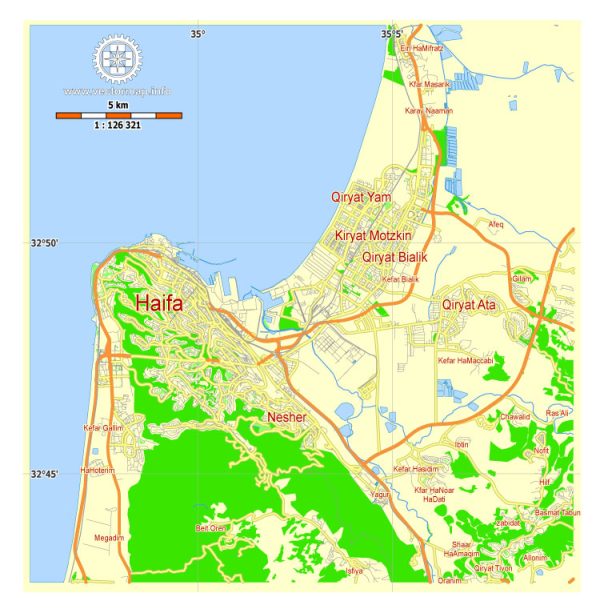
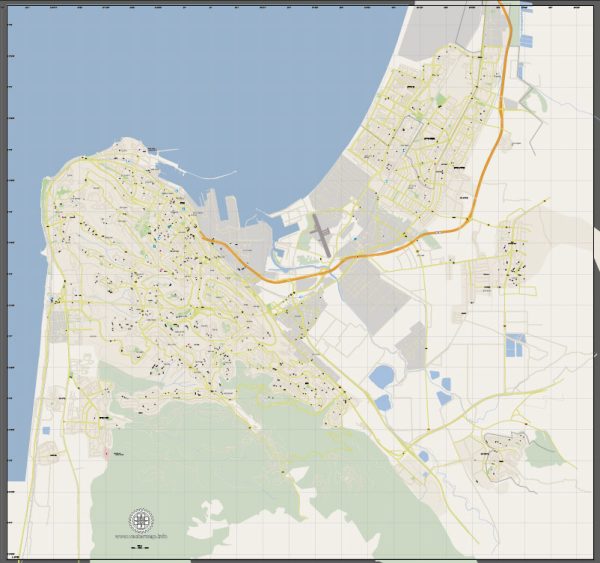
Vector Maps of the Haifa : northern Israeli port city built in tiers extending from the Mediterranean up the north slope of Mount Carmel. The city’s most iconic sites are the immaculately landscaped terraces of the Bahá’í Gardens and, at their heart, the gold-domed Shrine of the Báb. At the foot of the gardens lies the German Colony, with shops, galleries and restaurants in 19th-century buildings.
Area: 63.66 km²
Download royalty free, editable vector maps of Haifa Israel in high resolution digital PDF and Adobe Illustrator format.
PDF Map — Haifa Israel
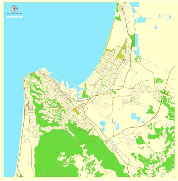
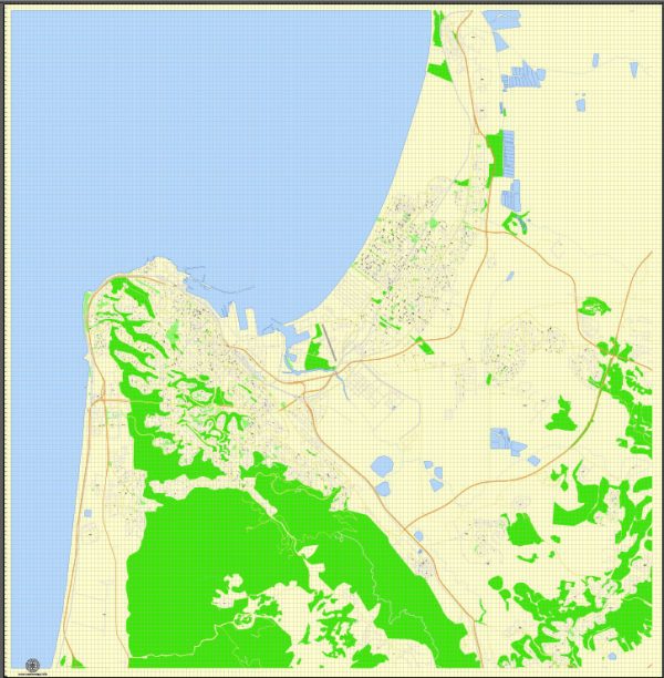
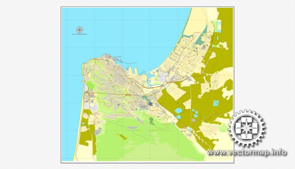
A production‑ready PDF map of Haifa Israel built for clear labeling and predictable output across sizes. Layer structure separates arterials and locals, districts, hydrography, parks and landmarks. District and neighborhood labels are arranged to avoid collisions around dense cores. Bridges, tunnels and ferry lines are isolated so routes remain legible after recolor. Named layers let you restyle colors, line weights and label classes without cleanup passes. Crisp vectors preserve edges at high DPI and export compactly for web delivery.
Works well as an underlay for wayfinding, transport schemes and editorial layouts. Ideal for signage, event maps, campus leaflets and waterfront brochures. The map integrates neatly with common DTP and GIS workflows. Keeps labels readable while allowing deep customization of routes and highlights. Files remain compact thanks to clean geometry and disciplined labeling.

 Author: Kirill Shrayber, Ph.D. FRGS