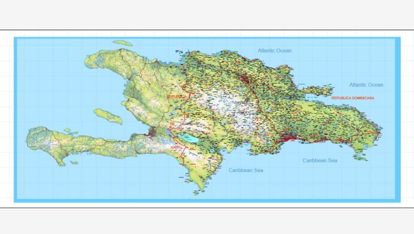
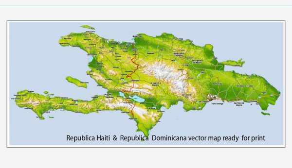
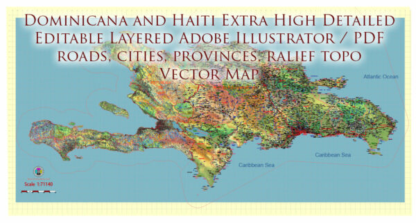
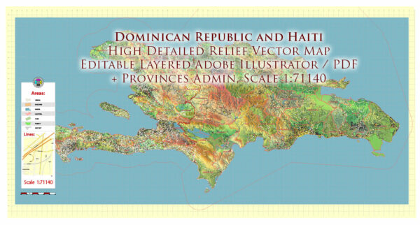
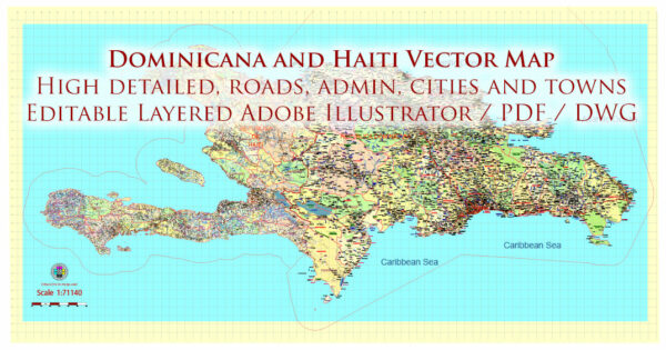
Vector Maps of the Hispaniola (Dominicana + Haiti): island in the Caribbean that is part of the Greater Antilles. Hispaniola is the most populous island in the West Indies, and the region’s second largest in area, after the main island of Cuba.
Area: 76,480 km²
Elevation: 3,175 m
Download royalty free, editable vector maps of Hispaniola (Dominicana + Haiti) in high resolution digital PDF and Adobe Illustrator format
Mapa PDF — Dominicana Haiti Full
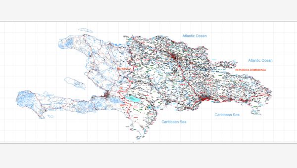
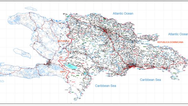
Un mapa PDF preciso de Dominicana Haiti Full que mantiene la jerarquía al escalar de A3 a A0. Puentes y túneles se aíslan para que las rutas sigan legibles tras el recolor. El espaciado tipográfico está ajustado para lectura ágil en pósters, folletos e informes. Las etiquetas de barrios se organizan para evitar colisiones en zonas densas. Las capas separan arterias y calles locales, distritos, hidrografía, parques y puntos de interés. Coordenadas y escalas están preparadas para la producción de láminas y exportes consistentes.
Funciona como base para wayfinding, esquemas de transporte y maquetación editorial. Ideal para señalética, mapas de eventos, folletos de campus y frentes de agua. Los preajustes de exportación mantienen trazos nítidos en papeles estucados y no estucados. Mantiene etiquetas legibles y permite personalizar rutas y acentos. Los archivos permanecen compactos gracias a la geometría limpia.

 Author: Kirill Shrayber, Ph.D. FRGS