
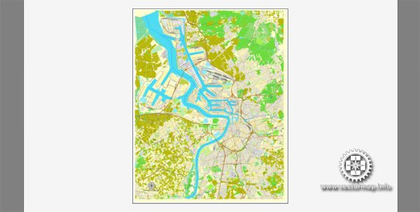
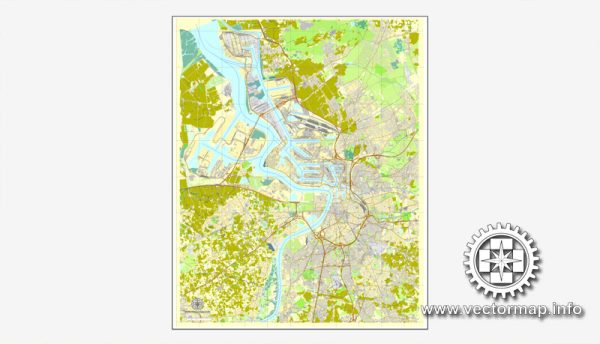
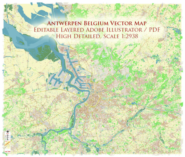
PDF Map — Antwerp Belgium
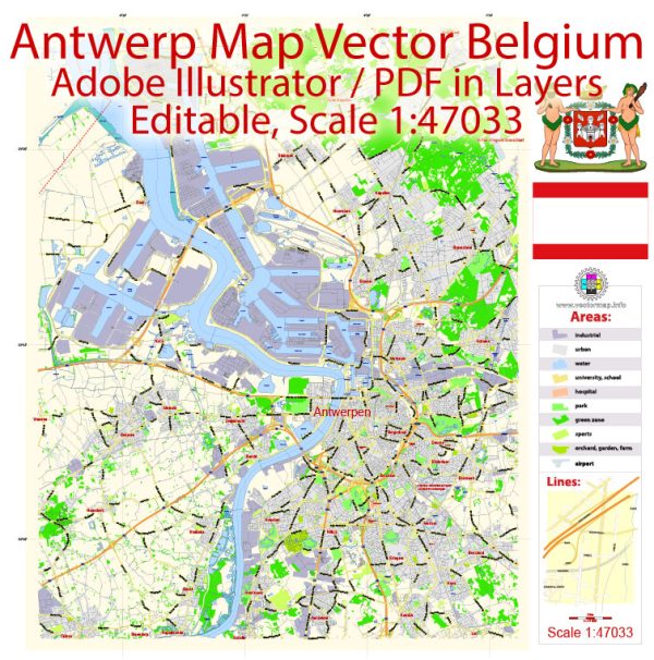
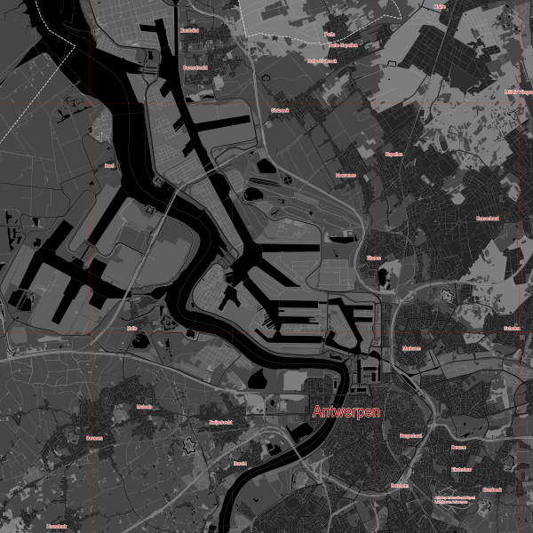
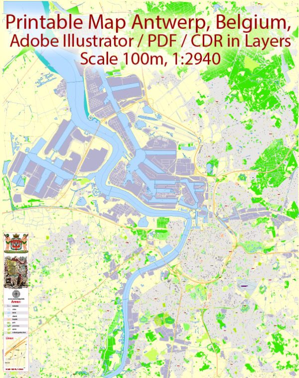
A production‑ready PDF map of Antwerp Belgium built for clear labeling and predictable output across sizes. Bridges, tunnels and ferry lines are isolated so routes remain legible after recolor. District and neighborhood labels are arranged to avoid collisions around dense cores. The file accepts custom grids, legends and callouts without redrawing base content. Waterfronts and parks receive extra separation for better contrast on light palettes. Contours and landuse layers can be toggled to match tourism or planning use cases.
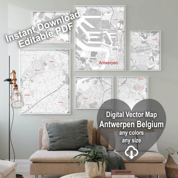
Works well as an underlay for wayfinding, transport schemes and editorial layouts. Ideal for signage, event maps, campus leaflets and waterfront brochures. Export presets help maintain crisp strokes on both coated and uncoated paper. Editors can brand the palette and icons, then export sharp results for both print and web. Legibility holds up on handheld leaflets and large lobby posters alike.
 Author: Kirill Shrayber, Ph.D. FRGS