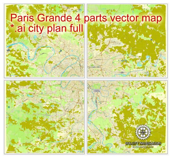
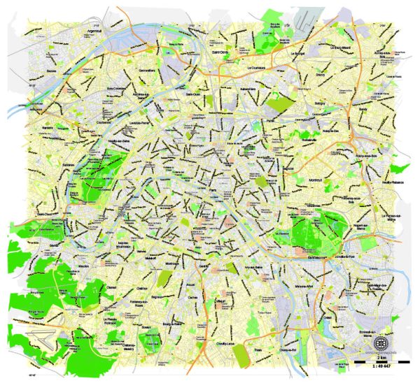
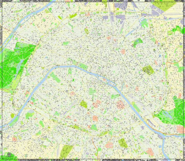
Vector Maps of the Paris, city and capital of France, situated in the north-central part of the country. People were living on the site of the present-day city, located along the Seine River some 233 miles (375 km) upstream from the river’s mouth on the English Channel (La Manche). The modern city has spread from the island (the Île de la Cité) and far beyond both banks of the Seine.
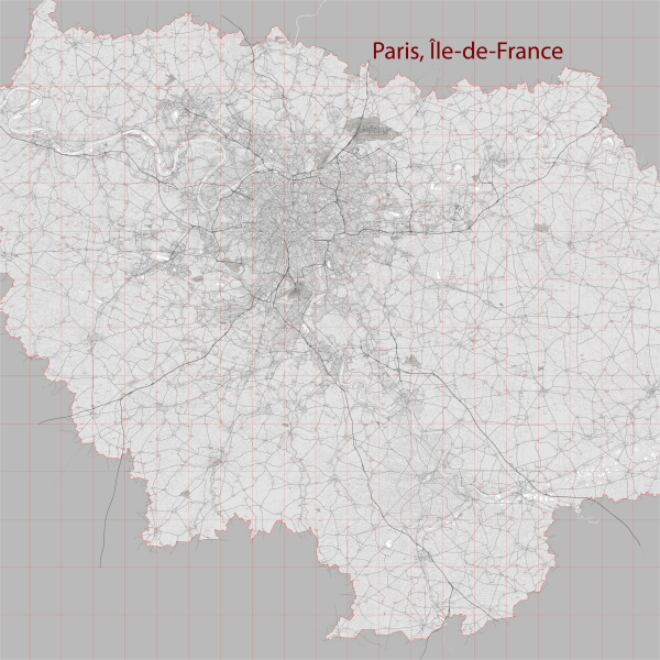
Paris occupies a central position in the rich agricultural region known as the Paris Basin, and it constitutes one of eight départements of the Île-de-France administrative region. It is by far the country’s most important center of commerce and culture.
Area: 105.4 km²
Elevation: 35 m
Instant download archives: royalty free, editable vector maps of Paris France in high resolution digital PDF and Adobe Illustrator format.
All of our editable Paris France vector maps are digital files,
which can be instantly downloaded in editable PDF or Adobe Illustrator format.
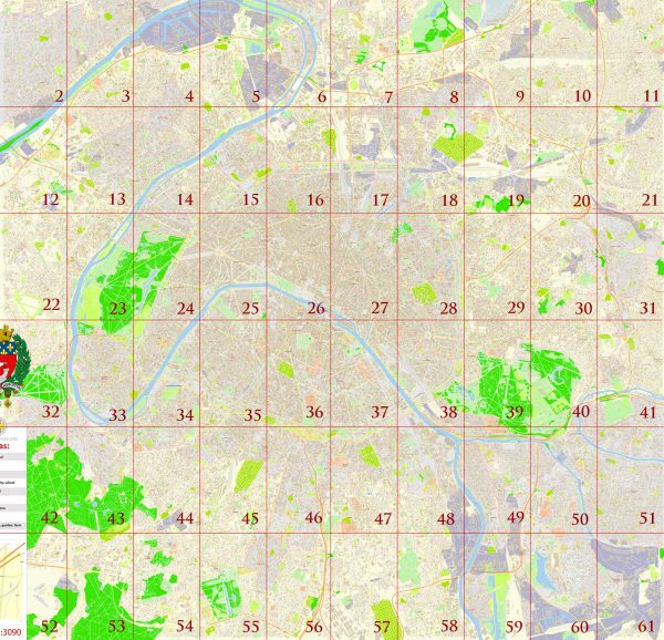
Objects on maps are usually divided into layers according to their types – lines, polygons, street names, object names (see map description!!!!)
Each of our Paris France digital maps is available in Adobe Illustrator or editable PDF format, (or on request in any other known format for the same price)
which use a vector approach to display images,
you can easily enlarge any part of our maps without compromising text, line or graphic quality,
with any increase or decrease ratio.
Using a vector graphics editor such as Adobe Illustrator, CorelDraw, Inkscape, or Freehand
you can easily crop parts of the map, add custom characters, and change colors and font attributes as needed.
We have a variety of Paris France vector maps with different levels of detail, from simple empty paths to highly detailed maps with roads and terrain layers.
Don’t see exactly what you’re looking for? Contact us to receive a special offer for an individual Paris France map for your project.
FR: Archives de téléchargement instantané : cartes vectorielles modifiables et libres de droits de Paris France en format PDF numérique haute résolution et Adobe Illustrator.
Toutes nos cartes vectorielles modifiables Paris France sont des fichiers numériques,
téléchargeable instantanément au format PDF éditable ou Adobe Illustrator.
Les objets sur les cartes sont généralement divisés en couches selon leurs types – lignes, polygones, noms de rues, noms d’objets (voir la description de la carte !!!!)
Chacune de nos cartes numériques Paris France est disponible au format Adobe Illustrator ou PDF éditable, (ou sur demande dans tout autre format connu pour le même prix)
qui utilisent une approche vectorielle pour afficher les images,
vous pouvez facilement agrandir n’importe quelle partie de nos cartes sans compromettre la qualité du texte, des lignes ou des graphiques,
avec n’importe quel rapport d’augmentation ou de diminution.
Utilisation d’un éditeur de graphiques vectoriels tel qu’Adobe Illustrator, CorelDraw, Inkscape ou Freehand
vous pouvez facilement recadrer des parties de la carte, ajouter des caractères personnalisés et modifier les couleurs et les attributs de police selon vos besoins.
Nous avons une variété de cartes vectorielles Paris France avec différents niveaux de détail, des simples chemins vides aux cartes très détaillées avec des routes et des couches de terrain.
Vous ne voyez pas exactement ce que vous cherchez ? Contactez-nous pour recevoir une offre spéciale pour une carte individuelle Paris France pour votre projet.

 Author: Kirill Shrayber, Ph.D. FRGS