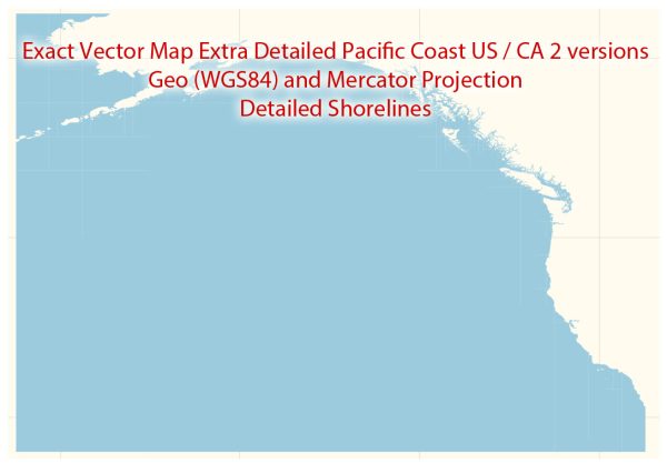
Map — Pacific Coast US Ca Map
An accurate map of Pacific Coast US Ca Map that keeps hierarchy under control when scaling from A3 to A0. Bridges, tunnels and ferry lines are isolated so routes remain legible after recolor. Contours and landuse layers can be toggled to match tourism or planning use cases. Crisp vectors preserve edges at high DPI and export compactly for web delivery. Named layers let you restyle colors, line weights and label classes without cleanup passes. Coordinates and scales are prepared for sheet production and consistent exports.
Use it for visitor guides, city infographics, investment decks and municipal communications. Ideal for signage, event maps, campus leaflets and waterfront brochures. The map integrates neatly with common DTP and GIS workflows. Reliable as a base layer; easy to adapt when projects or sponsors change. Export presets help maintain crisp strokes on both coated and uncoated paper.


 Author: Kirill Shrayber, Ph.D. FRGS