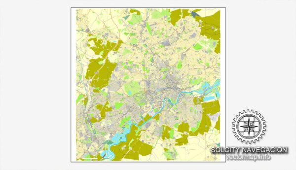
Vector Maps of the Newcastle upon Tyne : city and metropolitan borough, metropolitan county of Tyne and Wear, historic county of Northumberland, northeastern England. It lies on the north bank of the River Tyne 8 miles (13 km) from the North Sea.
With its twin city, Gateshead, it was a major shipbuilding and manufacturing hub during the Industrial Revolution and is now a center of business, arts and sciences. Spanning the Tyne, modern Gateshead Millennium Bridge, noted for its unique tilting aperture, is a symbol of the 2 cities.
Area:
• City 44.4 sq mi (115.1 km2)
Download royalty free, editable vector maps of Newcastle upon Tyne United Kingdom in high resolution digital PDF and Adobe Illustrator format.
Map — Newcastle UK City Vector Map
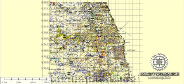
An accurate map of Newcastle UK City Vector Map that keeps hierarchy under control when scaling from A3 to A0. Waterfronts and parks receive extra separation for better contrast on light palettes. Contours and landuse layers can be toggled to match tourism or planning use cases. Coordinates and scales are prepared for sheet production and consistent exports. District and neighborhood labels are arranged to avoid collisions around dense cores. Named layers let you restyle colors, line weights and label classes without cleanup passes.
Ideal for signage, event maps, campus leaflets and waterfront brochures. Works well as an underlay for wayfinding, transport schemes and editorial layouts. Legibility holds up on handheld leaflets and large lobby posters alike. Editors can brand the palette and icons, then export sharp results for both print and web. The map integrates neatly with common DTP and GIS workflows.


 Author: Kirill Shrayber, Ph.D. FRGS