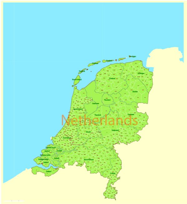
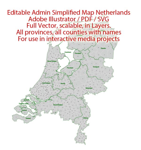
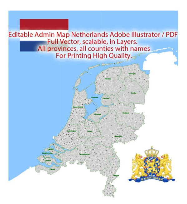
The Netherlands, a country known for its extensive water management systems, rich history, and vibrant cities, has a well-developed infrastructure that supports its dense population and robust economy.
Vectormap.Net provide you with the most accurate and up-to-date vector maps in Adobe Illustrator, PDF and other formats, designed for editing and printing. Please read the vector map descriptions carefully.
Below is a detailed description of the cities, towns, roads, and maritime infrastructure of the Netherlands.
1. Cities and Towns
The Netherlands is characterized by its densely populated urban areas and picturesque small towns, each with its own unique charm and historical significance.
Major Cities
- Amsterdam
- Overview: The capital city of the Netherlands, Amsterdam is known for its iconic canals, historical buildings, and vibrant cultural scene. It is the country’s largest city and an important global hub for finance, culture, and tourism.
- Significance: Amsterdam is home to numerous world-renowned museums, such as the Rijksmuseum and the Van Gogh Museum, as well as the Anne Frank House. The city’s historic center is a UNESCO World Heritage Site.
- Rotterdam
- Overview: Rotterdam is the second-largest city in the Netherlands and is famous for its modern architecture, major port, and vibrant cultural life. The city was heavily bombed during World War II, leading to a unique blend of old and new architecture.
- Significance: Rotterdam is one of the busiest ports in the world and serves as a major gateway for goods entering and leaving Europe. The city is also known for its innovative urban planning and architectural landmarks like the Erasmus Bridge and the Cube Houses.
- The Hague (Den Haag)
- Overview: The Hague is the seat of the Dutch government and home to the royal family, even though it is not the capital. It is also the headquarters of many international organizations, including the International Court of Justice.
- Significance: The Hague is known for its diplomatic significance, numerous embassies, and international institutions. The city also boasts beautiful parks, the historic Binnenhof (the Dutch Parliament), and nearby beaches like Scheveningen.
- Utrecht
- Overview: Utrecht is centrally located in the Netherlands and is one of the country’s oldest cities. It is known for its medieval old town, canals with unique wharf cellars, and the Dom Tower, which is the tallest church tower in the Netherlands.
- Significance: Utrecht is a key transportation hub, with the busiest train station in the country. It is also an important center for education and research, home to Utrecht University, one of the largest in the Netherlands.
- Eindhoven
- Overview: Located in the southern part of the Netherlands, Eindhoven is known as a technology and design hub. It is the birthplace of Philips, the global electronics company, and has a strong focus on innovation and creativity.
- Significance: Eindhoven hosts the annual Dutch Design Week and is home to the High Tech Campus, a major center for technology companies and research institutions.
Notable Towns
- Delft
- Overview: Delft is a historic town located between Rotterdam and The Hague, famous for its blue pottery (Delftware) and as the birthplace of the painter Johannes Vermeer.
- Significance: The town is known for its well-preserved medieval architecture, canals, and the Delft University of Technology, one of the leading engineering schools in the world.
- Leiden
- Overview: Leiden is a charming university town with a rich history and beautiful canals. It is the birthplace of Rembrandt and home to the oldest university in the Netherlands, Leiden University.
- Significance: The town has a strong academic atmosphere, with numerous research institutions and museums, including the National Museum of Antiquities and the Leiden Observatory.
- Maastricht
- Overview: Located in the southernmost part of the Netherlands, Maastricht is one of the oldest cities in the country, known for its medieval architecture, vibrant cultural scene, and its role in the European Union’s history (Treaty of Maastricht).
- Significance: Maastricht’s international character, historic sites, and the Maastricht University make it a key cultural and educational center.
2. Road Infrastructure
The Netherlands boasts one of the most developed road networks in the world, reflecting the country’s high population density and economic activity.
Highways (Autosnelwegen)
- Overview: The Dutch highway system is extensive and well-maintained, with over 2,700 kilometers (1,678 miles) of highways. These highways are identified by the letter “A” followed by a number (e.g., A1, A2). The roads are generally free to use, with a few exceptions like tunnels and bridges where tolls may apply.
- Key Routes:
- A1: Connects Amsterdam to the German border, passing through cities like Amersfoort and Apeldoorn. It is a major east-west route.
- A2: Runs from Amsterdam to Maastricht in the south, passing through Utrecht and Eindhoven. It is one of the busiest highways, especially in the Randstad region.
- A12: Connects The Hague to the German border, passing through Utrecht and Arnhem. It serves as a vital connection between the western and eastern parts of the country.
- A4: Runs from Amsterdam to the Belgian border, passing through The Hague and Rotterdam. It is crucial for traffic between the major cities in the western Netherlands.
Provincial Roads (N-roads)
- Overview: Provincial roads, identified by the letter “N” followed by a number (e.g., N201), connect smaller towns and rural areas with the national highway network. These roads are vital for regional connectivity and are usually well-maintained.
- Significance: N-roads play a key role in local transport, linking less densely populated areas with larger urban centers. They also serve as important routes for agricultural transport.
Urban Roads and Cycling Infrastructure
- Overview: Dutch cities and towns are known for their extensive cycling infrastructure. Nearly every road has a dedicated cycle path (fietspad), making cycling a safe and popular mode of transportation.
- Significance: The country’s commitment to cycling infrastructure reduces traffic congestion and pollution in urban areas. It also promotes healthy living and is a key aspect of Dutch urban planning.
3. Maritime Infrastructure
The Netherlands has a long maritime tradition, given its location along the North Sea and its extensive network of rivers and canals.
Major Ports
- Port of Rotterdam
- Overview: The Port of Rotterdam is the largest and busiest port in Europe and one of the largest in the world. It serves as a major gateway for goods entering and leaving Europe, with extensive facilities for handling containers, bulk goods, and other cargo.
- Significance: Rotterdam’s port is a critical hub for international trade, logistics, and industry. It has extensive connections with inland waterways, rail, and road networks, making it a key node in the global supply chain.
- Features: The port covers an area of over 12,500 hectares and includes facilities such as the Maasvlakte, a massive extension into the North Sea, and the Europoort industrial complex. The port is constantly evolving, with ongoing projects to expand and modernize its infrastructure.
- Port of Amsterdam
- Overview: The Port of Amsterdam is the second-largest port in the Netherlands and plays a significant role in the country’s economy. It handles a wide variety of cargo, including bulk goods, chemicals, and food products.
- Significance: The port is closely linked to the North Sea Canal, which connects Amsterdam to the North Sea. It is also a major center for the cruise industry, with many ships docking in Amsterdam.
- Features: The port is integrated with Amsterdam’s industrial zones and is well-connected to the national highway and rail networks.
Smaller Ports and Harbors
- Overview: In addition to the major ports, the Netherlands has numerous smaller ports and harbors that serve regional and local needs. These include ports in cities like Vlissingen, Dordrecht, and Groningen.
- Significance: These smaller ports are crucial for regional trade, fishing, and recreational boating. They also play a role in the country’s extensive inland waterway network.
Inland Waterways and Canals
- Overview: The Netherlands has one of the most extensive and advanced inland waterway networks in the world, with over 6,000 kilometers (3,728 miles) of navigable rivers, canals, and lakes.
- Key Waterways:
- Rhine River: The Rhine is a major European river that flows through the Netherlands before emptying into the North Sea. It is a vital waterway for the transport of goods between the Netherlands and other European countries.
- Maas River (Meuse): The Maas is another important river that flows through the southern part of the Netherlands, providing a key transport route for goods and linking to the Belgian and French waterway networks.
- North Sea Canal: This canal connects Amsterdam to the North Sea and is a crucial part of the city’s port infrastructure. It allows large ships to access the Port of Amsterdam.
- IJsselmeer and Markermeer: These large inland lakes are important for both commercial and recreational activities. The Afsluitdijk, a major causeway, separates the IJsselmeer from the Wadden Sea and serves as an important flood defense structure.
4. Public Transportation and Rail Network
Railways
- Overview: The Netherlands has a highly developed and efficient rail network operated primarily by Nederlandse Spoorwegen (NS), the Dutch national railway company. The rail network connects major cities, towns, and even rural areas, making train travel a popular and convenient mode of transportation.
- Key Routes:
- Intercity Services: Fast trains connect major cities like Amsterdam, Rotterdam, Utrecht, and The Hague, with frequent service throughout the day.
- International Trains: High-speed trains such as Thalys and Eurostar connect Dutch cities with major European destinations like Paris, Brussels, and London.
- Regional Trains: Sprinter trains serve smaller towns and suburban areas, providing essential connectivity for daily commuters and travelers.
Public Transit in Cities
- Overview: Dutch cities have well-organized public transit systems, including buses, trams, and metro services. These systems are integrated, making it easy for passengers to switch between different modes of transport.
- Significance: Public transit is widely used for daily commuting, particularly in urban areas. The OV-chipkaart, a contactless smart card, is used for seamless travel across different modes of public transportation.
Summary
The Netherlands boasts a highly developed and interconnected infrastructure that supports its status as a major economic and cultural hub in Europe. Its cities and towns are well-connected by an extensive road and rail network, while its maritime infrastructure, including some of the world’s largest ports, plays a crucial role in global trade. The country’s inland waterways and canals are integral to its water management and transportation systems, reflecting its unique relationship with water. Whether through efficient highways, bustling ports, or scenic canals, the Netherlands exemplifies a country with a deeply ingrained tradition of connectivity and innovation in its infrastructure.


 Author: Kirill Shrayber, Ph.D. FRGS