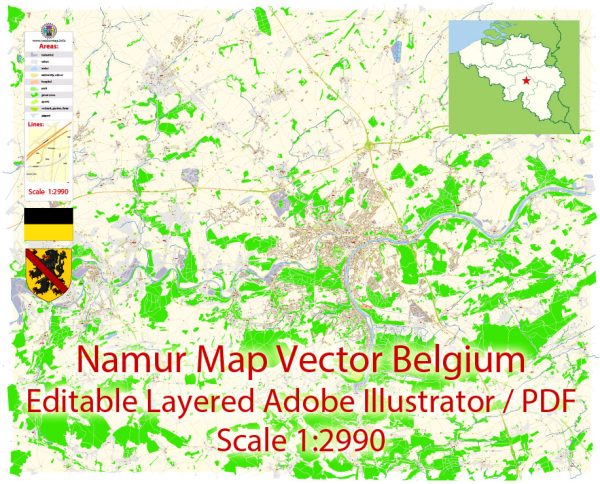
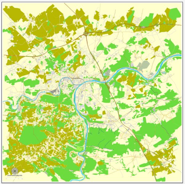
Namur, Belgium, has a well-developed transportation infrastructure that facilitates movement within the city and connects it to other regions.
Vectormap.Net provide you with the most accurate and up-to-date vector maps in Adobe Illustrator, PDF and other formats, designed for editing and printing. Please read the vector map descriptions carefully.
Here’s a detailed description of the transportation infrastructure in Namur:
**1. Road Network
- Major Roads and Highways:
- E411 (Brussels-Luxembourg):
- This major highway connects Namur to Brussels and the Luxembourg border. It is a key route for both national and international traffic, facilitating travel between major Belgian cities and neighboring countries.
- N4:
- Running east-west, the N4 connects Namur to the city of Arlon and further links to the Ardennes region. It is an important road for regional travel.
- N90:
- This road connects Namur to Charleroi, running through various towns and providing a vital link to the industrial and economic hub of Charleroi.
- E411 (Brussels-Luxembourg):
- City Roads:
- Namur has an extensive network of local roads and streets that connect different neighborhoods and key areas within the city. These roads are well-maintained and serve residential, commercial, and administrative needs.
**2. Public Transportation
- Train Services:
- Namur Railway Station:
- Namur’s central railway station is a major hub in the Belgian rail network, operated by the National Railway Company of Belgium (SNCB/NMBS). The station provides regional and national train services, including connections to Brussels, Liège, and Charleroi.
- Key Routes:
- IC (InterCity) Trains: Connect Namur with major cities like Brussels, Liège, and Charleroi.
- S (S-Bahn) Trains: Offer regional connections within the Walloon Region and beyond.
- Namur Railway Station:
- Bus Services:
- TEC (Transport En Commun):
- The regional bus network, operated by TEC, provides extensive coverage within Namur and connects the city to surrounding towns and villages. Buses run frequently and serve various routes within the Walloon Region.
- Local Buses:
- Namur has local bus routes that serve different neighborhoods and key locations within the city, including the city center, shopping areas, and residential districts.
- TEC (Transport En Commun):
**3. Cycling Infrastructure
- Bike Lanes and Paths:
- Namur has been working on improving its cycling infrastructure, with dedicated bike lanes and paths throughout the city. These facilities promote cycling as a sustainable mode of transportation.
- Bike Rentals:
- The city offers bike rental services, allowing residents and visitors to rent bicycles for short-term use. This service supports eco-friendly travel and helps ease urban congestion.
**4. Car Parking
- Public Parking:
- Namur provides various public parking facilities, including parking garages and surface lots, especially in the city center and near key attractions. These parking options help accommodate both residents and visitors.
- Parking Regulations:
- The city has implemented parking regulations to manage space effectively and ensure accessibility. Paid parking zones and permit systems are in place in certain areas.
**5. River Transport
- Meuse River:
- Namur is situated at the confluence of the Meuse and Sambre rivers. While river transport is not as prominent as other modes of transport, the waterways provide scenic views and potential for leisure activities.
**6. Taxi Services
- Local Taxis:
- Taxi services are available throughout Namur, offering convenient transportation for residents and visitors. Taxis can be hailed on the street, booked via phone, or arranged through ride-hailing apps.
Summary
Namur’s transportation infrastructure is well-developed, featuring major road networks like the E411 and N4, comprehensive public transportation options including the Namur Railway Station and TEC bus services, and a growing cycling infrastructure. The city provides ample parking facilities, and while river transport is not a primary mode of transportation, the Meuse River adds to the city’s charm. Namur’s transport system is designed to support both local and regional travel, enhancing connectivity and accessibility within the city and beyond.


 Author: Kirill Shrayber, Ph.D. FRGS