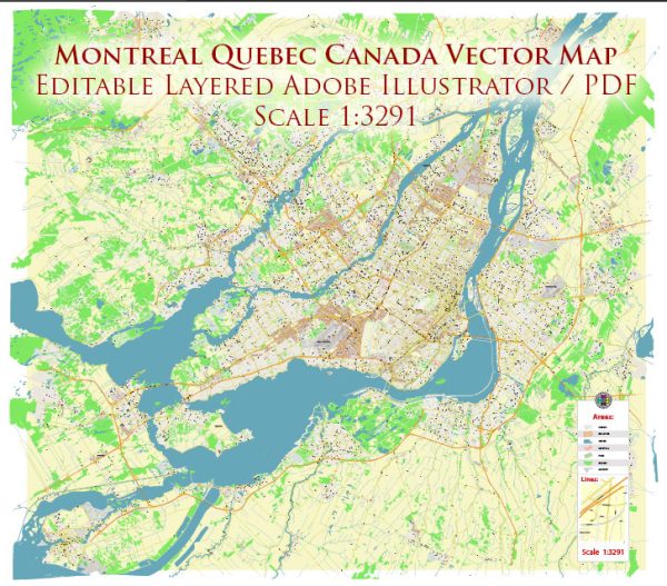
Montreal, Canada, boasts a comprehensive transportation infrastructure that supports its dynamic urban environment.
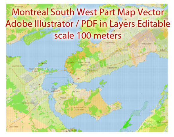
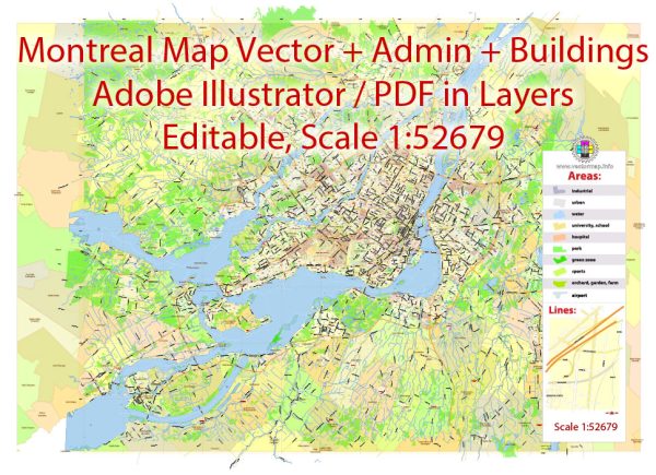
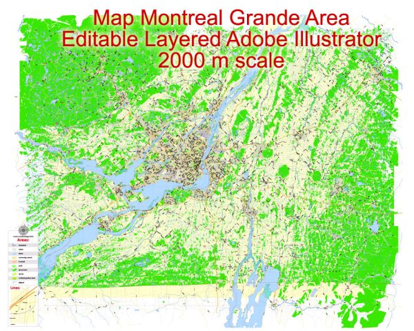
Vectormap.Net provide you with the most accurate and up-to-date vector maps in Adobe Illustrator, PDF and other formats, designed for editing and printing. Please read the vector map descriptions carefully.
Here’s an overview of the city’s key transportation components:
Roads and Highways
- Autoroute 20:
- Description: A major east-west highway that runs through Montreal, connecting the city to destinations like Quebec City to the east and the Ontario border to the west. It is a critical route for regional and interprovincial travel.
- Autoroute 40:
- Description: Running north-south, this highway provides access to the northern suburbs of Montreal and extends towards Ottawa. It is a key route for commuters and travelers heading to the city from the surrounding regions.
- Autoroute 15:
- Description: Connecting Montreal to the south towards the United States border and to the northern suburbs, Autoroute 15 is essential for both local and longer-distance travel.
- Boulevard Décarie:
- Description: A major road that runs through the western part of Montreal, connecting various neighborhoods and providing access to major highways and commercial areas.
- Boulevard René-Lévesque:
- Description: A significant thoroughfare in downtown Montreal, facilitating both local and through traffic with its central location.
Public Transit
- Montreal Metro:
- Description: The Montreal Metro is a rapid transit system with four lines (Green, Orange, Yellow, and Blue) that cover various parts of the city and surrounding areas. It is operated by the Société de transport de Montréal (STM) and is known for its efficiency and extensive coverage.
- Stations: Key stations include Berri-UQAM, McGill, Guy-Concordia, and Bonaventure, which provide access to major attractions, universities, and business districts.
- Bus Services:
- Description: The STM operates a comprehensive bus network that complements the Metro system, with routes covering neighborhoods not served by the Metro. Buses provide connections within the city and to suburban areas.
- Key Routes: Major routes include the 24 (Sherbrooke), 55 (Saint-Laurent), and 67 (Saint-Michel).
- Commuter Trains:
- Description: Operated by Exo, the commuter train system connects Montreal to suburban areas and nearby cities. Lines such as the Vaudreuil-Hudson, Candiac, and Deux-Montagnes serve as important links for commuters traveling from surrounding regions.
- Stations: Key stations include Central Station in downtown Montreal and stations in the surrounding suburbs.
- Bicycle Infrastructure:
- Description: Montreal has an extensive network of bike lanes and paths, promoting cycling as a mode of transportation. The BIXI bike-sharing program offers rental bikes for short-term use, with numerous stations throughout the city.
Airports
- Montréal-Pierre Elliott Trudeau International Airport (YUL):
- Description: The primary airport serving Montreal, located about 20 kilometers west of downtown. It offers domestic and international flights and is a major hub for both passenger and cargo traffic.
Ferries
- Montreal Ferry Service:
- Description: Ferries operate across the St. Lawrence River, providing connections between Montreal and the South Shore, as well as to other nearby locations. The service includes passenger ferries and those that accommodate vehicles.
Other Transportation
- Taxis and Ride-Sharing:
- Description: Taxis and ride-sharing services like Uber and Lyft are widely available in Montreal, offering flexible transportation options throughout the city.
- Car Rentals:
- Description: Several car rental agencies operate in Montreal, providing options for visitors who wish to explore the city and its surroundings by car.
Montreal’s transportation infrastructure effectively supports its vibrant urban environment, offering a range of options for commuting, travel, and exploration. The combination of roadways, public transit, cycling facilities, and air travel ensures efficient connectivity within the city and beyond.

 Author: Kirill Shrayber, Ph.D. FRGS