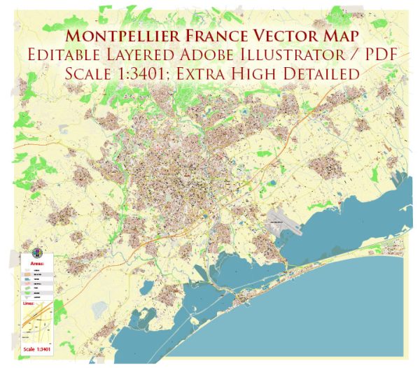
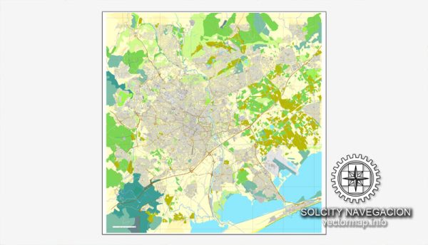
Montpellier, France, has a well-developed transportation infrastructure that supports both local and regional travel.
Vectormap.Net provide you with the most accurate and up-to-date vector maps in Adobe Illustrator, PDF and other formats, designed for editing and printing. Please read the vector map descriptions carefully.
Here’s an overview of the key components of its transportation system:
Roads and Highways
- A9 Motorway (Autoroute du Soleil):
- Description: A major motorway connecting Montpellier with cities to the east, such as Nîmes and Avignon, and to the west, towards Béziers and Narbonne. It is an essential route for regional and long-distance travel.
- A75 Motorway:
- Description: This motorway connects Montpellier with Clermont-Ferrand in the central part of France. It is particularly important for access to the Massif Central region and beyond.
- N113 Route:
- Description: A significant national road that provides a connection between Montpellier and Nîmes. It serves as an important route for local and regional travel.
- Boulevard du Jeu de Paume:
- Description: A major boulevard encircling the historic center of Montpellier, facilitating access to various neighborhoods and serving as a key route for both local and through traffic.
Public Transit
- Tramway:
- Description: Montpellier has an extensive tram system with several lines connecting different parts of the city and surrounding areas. The tramway is a popular mode of transportation for both residents and visitors, offering efficient travel within the city.
- Lines: Key tram lines include Line 1 (blue), Line 2 (green), Line 3 (orange), and Line 4 (light blue). Each line connects major districts, attractions, and transport hubs.
- Bus Services:
- Description: The city is served by a network of local and regional bus routes operated by the TaM (Transports de l’Agglomération de Montpellier). The bus system provides connections within the city and to neighboring towns and suburbs.
- Bicycles:
- Description: Montpellier promotes cycling as a mode of transportation with a network of bike lanes and bike-sharing programs. The city’s flat terrain and bike-friendly infrastructure make cycling a popular and practical option for getting around.
Rail
- Montpellier-Saint-Roch Railway Station:
- Description: The main railway station in Montpellier, offering connections to major cities across France, including Paris, Marseille, and Toulouse. It serves both high-speed TGV (Train à Grande Vitesse) and regional TER (Transport Express Régional) trains.
- Montpellier Sud-de-France Railway Station:
- Description: A newer station located to the southwest of the city, serving high-speed TGV trains and providing additional connections to the national rail network.
Airports
- Montpellier-Méditerranée Airport (MPL):
- Description: The primary airport serving Montpellier, located about 10 kilometers southeast of the city center. It offers domestic flights to major cities in France and international flights to various destinations in Europe.
Other Transportation
- Taxis and Ride-Sharing:
- Description: Taxis and ride-sharing services like Uber are available in Montpellier, providing flexible transportation options within the city and to nearby destinations.
- Car Rentals:
- Description: Several car rental agencies operate in Montpellier, allowing visitors to rent vehicles for exploring the city and the surrounding region.
Montpellier’s transportation infrastructure facilitates efficient travel within the city and provides strong connections to regional and national destinations. The city’s combination of tramways, buses, and bike lanes, along with its well-connected rail and air services, ensures convenient mobility for residents and visitors alike.


 Author: Kirill Shrayber, Ph.D. FRGS