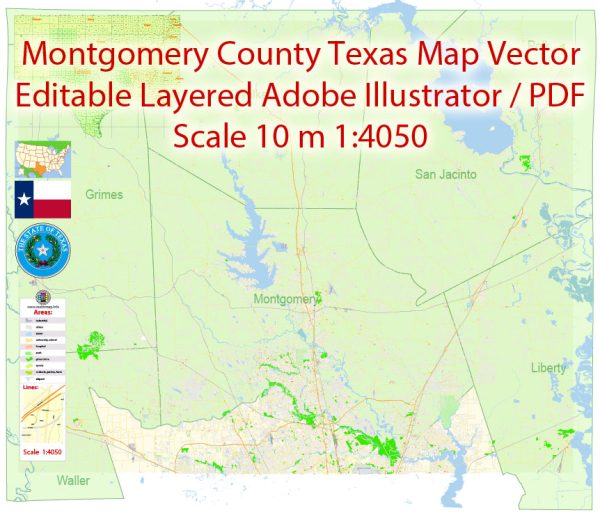
Montgomery County, Texas, is a diverse region with a mix of urban, suburban, and rural areas.
Vectormap.Net provide you with the most accurate and up-to-date vector maps in Adobe Illustrator, PDF and other formats, designed for editing and printing. Please read the vector map descriptions carefully.
Here’s an overview of the principal cities, towns, and main roads in Montgomery County:
Principal Cities and Towns
- The Woodlands:
- Description: A master-planned community located in the northern part of Montgomery County, known for its beautiful natural environment, residential neighborhoods, and commercial developments. It features a wide range of amenities, including shopping centers, parks, and a performing arts center.
- Key Attractions: The Woodlands Mall, Market Street, The Woodlands Waterway, and Hughes Landing.
- Conroe:
- Description: The county seat of Montgomery County and one of the largest cities in the region. Conroe is known for its historic downtown, vibrant community, and economic growth. It serves as a central hub for government, business, and culture in the county.
- Key Attractions: Conroe’s Historic Downtown, Lake Conroe, and the Crighton Theatre.
- Montgomery:
- Description: A historic town located near Lake Conroe, known for its charming downtown area and historical significance. Montgomery is one of the oldest towns in Texas and features several historic buildings and sites.
- Key Attractions: The Montgomery Historic District and the Lone Star Monument and Historical Flag Park.
- Splendora:
- Description: A small city located to the east of The Woodlands. Splendora has seen growth in recent years and is known for its suburban atmosphere and family-friendly community.
- Willis:
- Description: A town located near Lake Conroe and Interstate 45. Willis is a growing community with a mix of residential and commercial developments.
Main Roads
- Interstate 45 (I-45):
- Description: A major north-south interstate running through Montgomery County, connecting Houston to Dallas. It is a key route for regional and long-distance travel, providing access to major cities and commercial centers.
- U.S. Route 59 (U.S. 59):
- Description: Also known as the Southwest Freeway, this highway runs through the eastern part of Montgomery County, connecting the area with Houston and other regional destinations. It is an important route for both local and long-distance travel.
- State Highway 105 (SH 105):
- Description: A major east-west highway that runs through Montgomery County, connecting Conroe with other towns in the region. It provides access to various local attractions and amenities.
- State Highway 249 (SH 249):
- Description: Known as the Tomball Parkway, this highway extends from the northern suburbs of Houston into Montgomery County. It provides access to The Woodlands and other nearby areas.
- State Highway 2978 (SH 2978):
- Description: A key road in The Woodlands area, connecting various neighborhoods and commercial centers. It serves as an important route for local traffic and provides access to nearby developments.
- FM 1488:
- Description: A Farm-to-Market road that runs through the central part of Montgomery County, connecting areas such as The Woodlands and Conroe with other parts of the county.
Montgomery County’s transportation network and principal cities offer a mix of suburban and rural experiences, with major roads providing vital connections to the larger Houston metropolitan area and beyond.


 Author: Kirill Shrayber, Ph.D. FRGS